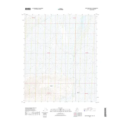
2018 Map of Mount Michelson C-1 NW
USGS Topo · Published 2018About this map
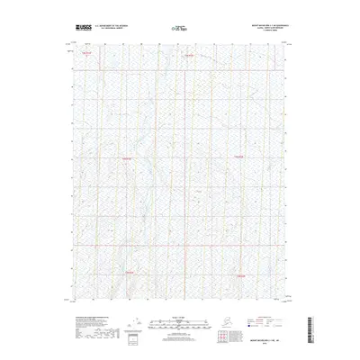
Sadlerochit Mountains dominate the southern portion of this Arctic landscape, where steep topography transitions into a broad coastal plain to the north. The drainage network is defined by the Sadlerochit River, which flows through the Sadlerochit Valley alongside several seasonal and perennial watercourses. An interesting hydrological feature is the Sadlerochit Spring, situated at the base of the mountains where groundwater likely emerges to feed the local river system. To the northwest, Itkilyariak Creek carves a path through the low-lying tundra, while the smaller Last Cr joins the larger river system in the southern mountain foothills. This 2018 survey illustrates a remote corner of the North Slope where the hydrology is intrinsically linked to the underlying mountain geology.
Find a feature on this map
12 named features on this map. Tap any name to fly to it.
Don’t see what you’re looking for? This feature index may not catch every label — zoom into the map to look around manually.
Map Details
Editions of this 2018 Mount Michelson C-1 NW Map
This is the sole edition of this map. No revisions or reprints were ever made.
Other maps of this area

1951 · Mt. Michelson
USGS Topo · 1:250,000

1955 · Mount Michelson C-1
USGS Topo · 1:63,360

1955 · Mount Michelson C-2
USGS Topo · 1:63,360

1955 · Mount Michelson D-2
USGS Topo · 1:63,360

1955 · Mount Michelson D-1
USGS Topo · 1:63,360

1956 · Mt. Michelson
USGS Topo · 1:250,000
1962 · Mt. Michelson D-1
USGS Topo · 1:50,000
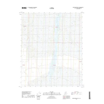
2018 · Mount Michelson D-1 SE
USGS Topo · 1:25,000
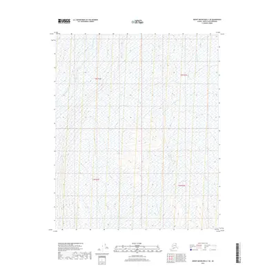
2018 · Mount Michelson C-1 SE
USGS Topo · 1:25,000
2018 · Mount Michelson C-1 NE
USGS Topo · 1:25,000