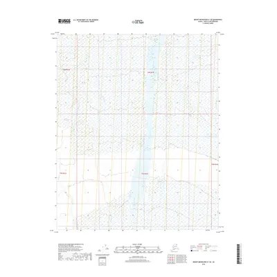
2018 Map of Mount Michelson D-1 SE
USGS Topo · Published 2018About this map
The Hulahula River dominates this Arctic landscape, flowing northward through a vast expanse of wetland tundra. Recorded in 2018, this portion of the North Slope reflects a wilderness shaped by braided river channels and seasonal hydrology. To the west, the smaller Katurok Creek meanders through the coastal plain, both waterways serving as critical features in a region defined by its lack of permanent settlements or infrastructure. The survey is meticulously segmented by the Public Land Survey System, showing township boundaries such as t6n r32e and t5n r32e which provide the primary spatial framework for this remote section of Alaska. This document captures the pristine state of the river system and its surrounding wetlands before any modern industrial or transport footprints reached this specific coordinate.
Find a feature on this map
7 named features on this map. Tap any name to fly to it.
Don’t see what you’re looking for? This feature index may not catch every label — zoom into the map to look around manually.
Map Details
Editions of this 2018 Mount Michelson D-1 SE Map
This is the sole edition of this map. No revisions or reprints were ever made.
Other maps of this area

1951 · Demarcation Point
USGS Topo · 1:250,000

1951 · Mt. Michelson
USGS Topo · 1:250,000

1955 · Demarcation Point
USGS Topo · 1:250,000

1955 · Mount Michelson C-1
USGS Topo · 1:63,360

1955 · Demarcation Point C-5
USGS Topo · 1:63,360

1955 · Mount Michelson D-1
USGS Topo · 1:63,360

1955 · Demarcation Point D-5
USGS Topo · 1:63,360

1956 · Mt. Michelson
USGS Topo · 1:250,000
1962 · Mt. Michelson D-1
USGS Topo · 1:50,000

1964 · Demarcation Point
USGS Topo · 1:250,000