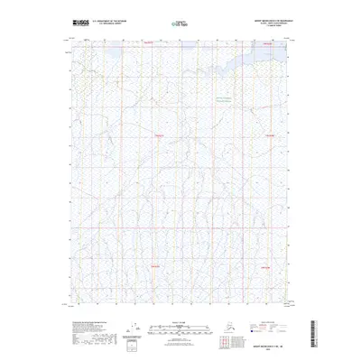
2023 Map of Mount Michelson D-3 NE
USGS Topo · Published 2023About this map
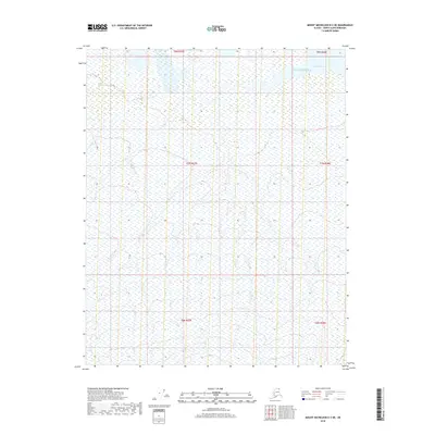
Arctic National Wildlife Refuge encompasses the vast majority of this coastal landscape on Alaska's North Slope. The terrain is characterized by a complex network of seasonal drainage patterns and wetlands that define the tundra environment south of the Beaufort Sea. Along the northern edge of the map, the waters of Camden Bay meet the shoreline, marking the transition from the low-lying coastal plain to the Arctic waters. The map primarily documents the natural topography and hydrologic features of the refuge, showing no permanent human settlements or roads. It instead focuses on the land partitions of the Public Land Survey System, including t8n r27e, t7n r27e, and t6n r27e, which provide a geographic framework for this remote wilderness area.
Find a feature on this map
8 named features on this map. Tap any name to fly to it.
Don’t see what you’re looking for? This feature index may not catch every label — zoom into the map to look around manually.
Map Details
Editions of this 2023 Mount Michelson D-3 NE Map
This is the sole edition of this map. No revisions or reprints were ever made.
Other maps of this area

1951 · Mt. Michelson
USGS Topo · 1:250,000

1955 · Flaxman Island
USGS Topo · 1:250,000

1955 · Mount Michelson D-3
USGS Topo · 1:63,360

1955 · Mount Michelson D-2
USGS Topo · 1:63,360

1955 · Flaxman Island A-3
USGS Topo · 1:63,360

1956 · Mt. Michelson
USGS Topo · 1:250,000
2018 · Flaxman Island A-3 SW
USGS Topo · 1:25,000
2018 · Flaxman Island A-3 SE
USGS Topo · 1:25,000
2018 · Mount Michelson D-2 SW
USGS Topo · 1:25,000
2018 · Mount Michelson D-3 NE
USGS Topo · 1:25,000