
1900 Map of Mount Mitchell
USGS Topo · Published 1963About this map
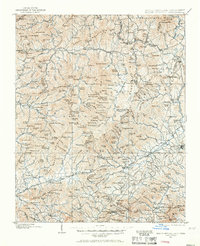
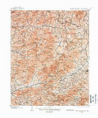
The high peaks of the Blue Ridge dominate this turn-of-the-century survey, centered on the towering presence of Mt Mitchell. At the time of this mapping, the landscape was a complex network of isolated mountain settlements and emerging rail corridors. The Southern RR winds through the southern terrain, connecting Old Fort to Black Mountain and Swannanoa, while the northern reaches show early industrial footprints at Sprucepine and Mica.
Find a feature on this map
266 named features on this map. Tap any name to fly to it.
Don’t see what you’re looking for? This feature index may not catch every label — zoom into the map to look around manually.
Map Details
Editions of this 1900 Mount Mitchell Map
3 editions found
Other maps of this area

1891 · Roan Mountain
USGS Topo · 1:125,000

1892 · Greeneville
USGS Topo · 1:125,000

1893 · Cranberry
USGS Topo · 1:125,000

1894 · Asheville
USGS Topo · 1:125,000

1894 · Roan Mountain
USGS Topo · 1:125,000

1895 · Cranberry
USGS Topo · 1:125,000

1896 · Greeneville
USGS Topo · 1:125,000

1899 · Cranberry
USGS Topo · 1:125,000

1901 · Asheville
USGS Topo · 1:125,000

1902 · Cranberry
USGS Topo · 1:125,000