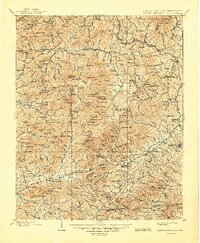
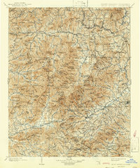
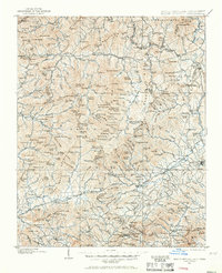
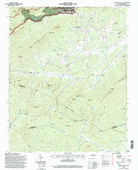
1902 Map of Mount Mitchell
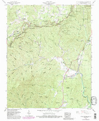
USGS Topo · Published 1948About this map
Mt. Mitchell towers as the centerpiece of this turn-of-the-century mountain landscape, surrounded by the high-elevation peaks of the Black Mountains and Craggy Mountains. The area’s rugged topography is reflected in the early settlement patterns, with towns like Burnsville and Marion serving as primary hubs while smaller outposts like Pensacola and Micaville follow the narrow river valleys. Surveyed just before the expansion of the Southern Railway through the Blue Ridge crest at Altapass, the map documents the region's early industrial roots, including Mica mining and timber resources within the Pisgah National Forest.
Find a feature on this map
230 named features on this map. Tap any name to fly to it.
Don’t see what you’re looking for? This feature index may not catch every label — zoom into the map to look around manually.
Map Details
Editions of this 1902 Mount Mitchell Map
3 editions found

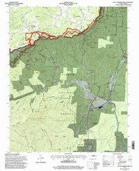
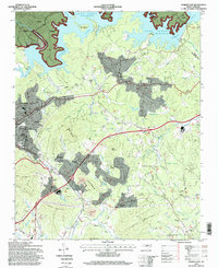
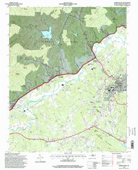
Historical Maps of Asheville Through Time
38 maps found
1900 Mount Mitchell
McDowell County, NC
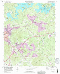
1902 Mount Mitchell
McDowell County, NC

1934 Parts Of Old Fort and Montreat
McDowell County, NC
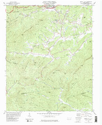
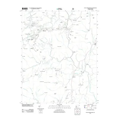
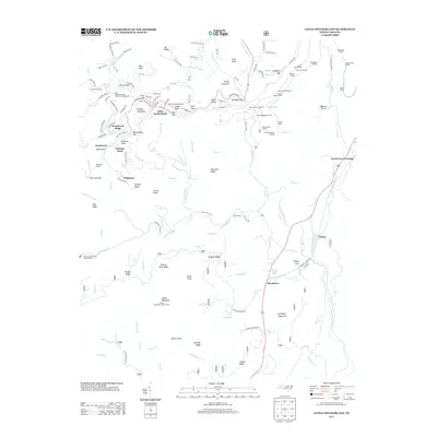
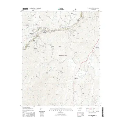
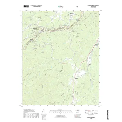
1960 Little Switzerland
McDowell County, NC
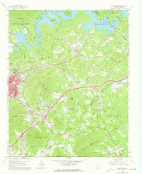
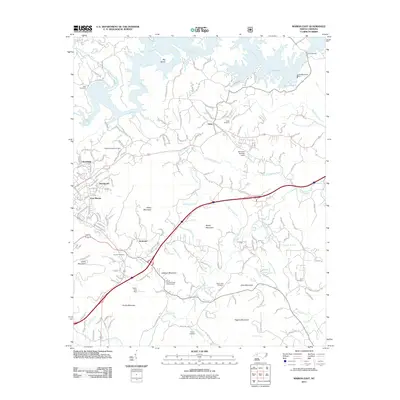
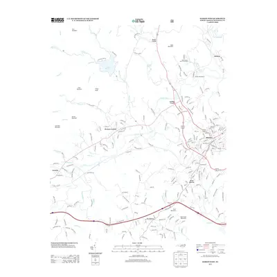
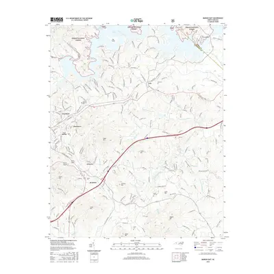
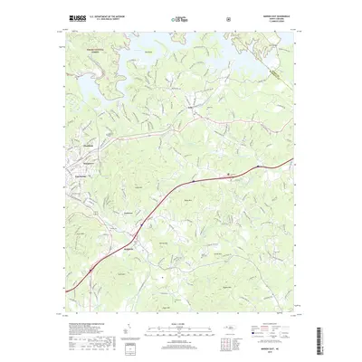
1962 Marion East
McDowell County, NC
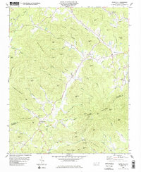
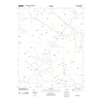
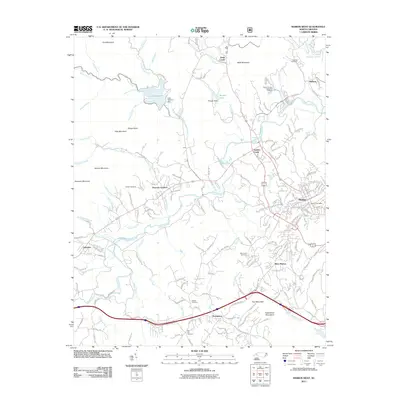
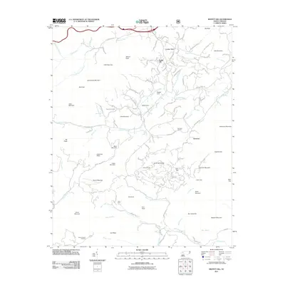
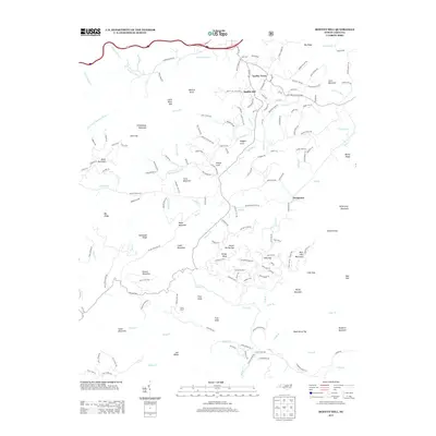
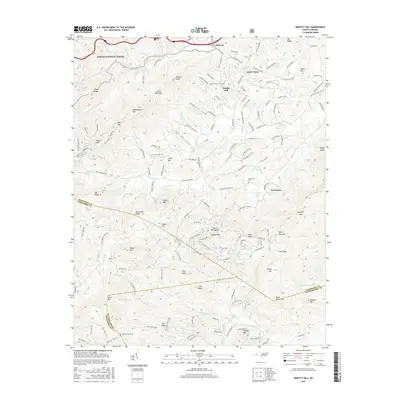
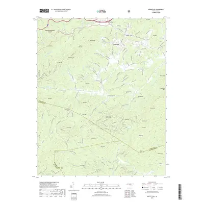
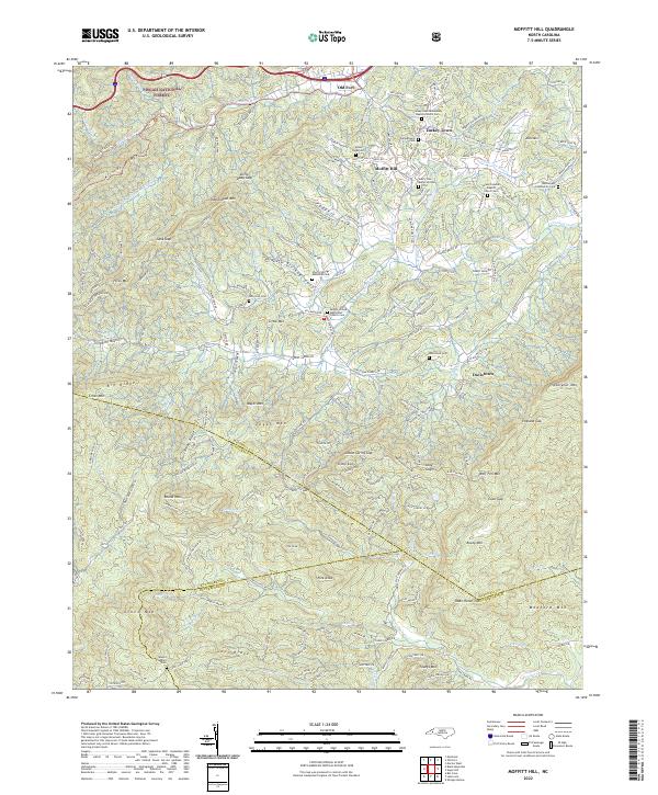
1982 Moffitt Hill
McDowell County, NC
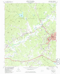
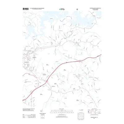
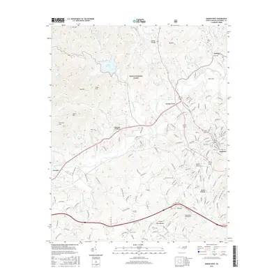
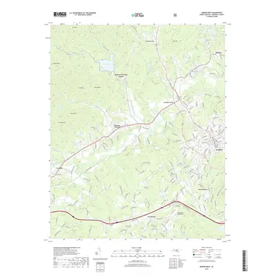
1985 Marion West
McDowell County, NC
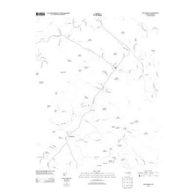
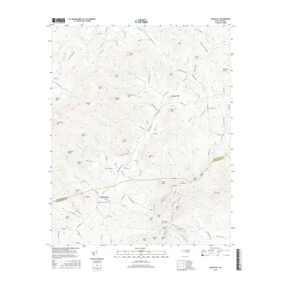
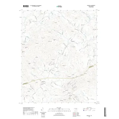
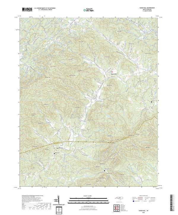
1985 Sugar Hill
McDowell County, NC
1993 Marion East
McDowell County, NC
1994 Little Switzerland
McDowell County, NC
1994 Marion East
McDowell County, NC
1994 Marion West
McDowell County, NC
1994 Moffitt Hill
McDowell County, NC
2010 Sugar Hill
McDowell County, NC
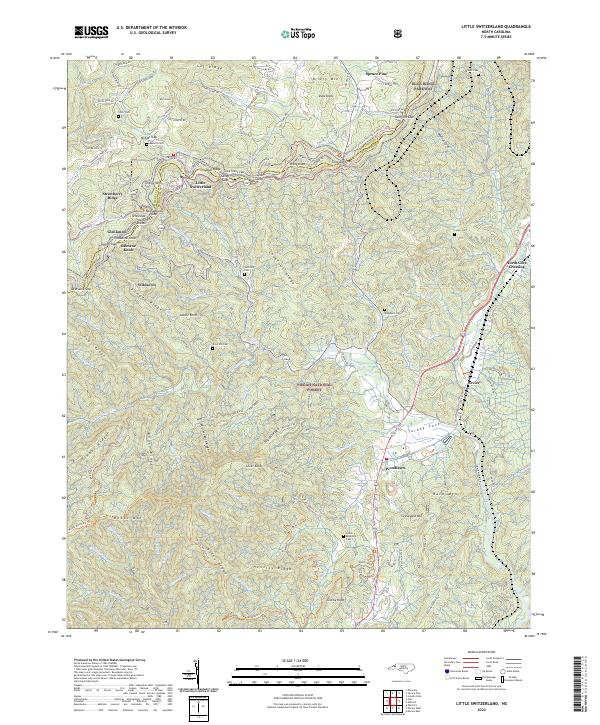
2011 Little Switzerland
McDowell County, NC
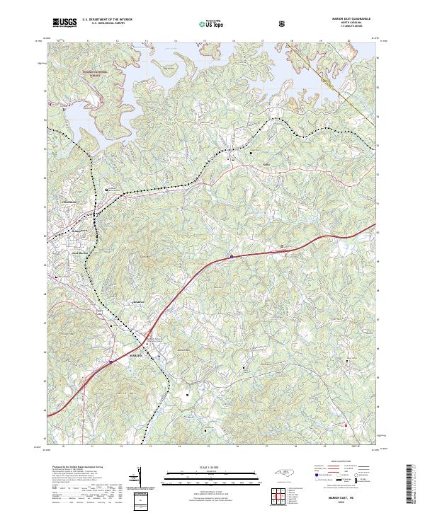
2011 Marion East
McDowell County, NC
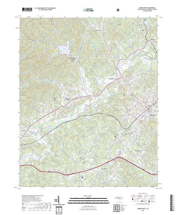
2011 Marion West
McDowell County, NC
2011 Moffitt Hill
McDowell County, NC
2013 Little Switzerland
McDowell County, NC
2013 Marion East
McDowell County, NC
2013 Marion West
McDowell County, NC
2013 Moffitt Hill
McDowell County, NC
2013 Sugar Hill
McDowell County, NC
2016 Little Switzerland
McDowell County, NC
2016 Marion East
McDowell County, NC
2016 Marion West
McDowell County, NC
2016 Moffitt Hill
McDowell County, NC
2016 Sugar Hill
McDowell County, NC
2019 Little Switzerland
McDowell County, NC
2019 Marion East
McDowell County, NC
2019 Marion West
McDowell County, NC
2019 Moffitt Hill
McDowell County, NC
2019 Sugar Hill
McDowell County, NC
2022 Little Switzerland
McDowell County, NC
2022 Marion East
McDowell County, NC
2022 Marion West
McDowell County, NC
2022 Moffitt Hill
McDowell County, NC
2022 Sugar Hill
McDowell County, NC