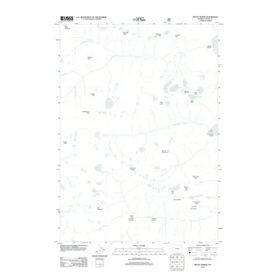
2012 Map of Mount Moran
USGS Topo · Published 2012About this map
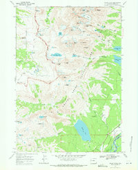
Mount Moran stands as the central landmark of this high-elevation terrain, flanked by a network of permanent ice fields and jagged peaks. The landscape is defined by its glacial history, with Triple Glaciers, Skillet Glacier, and Falling Ice Glacier clinging to the steep eastern faces of the mountains. To the west and south, the hydrology of the region flows through dramatic canyons such as Leigh Canyon and Paintbrush Canyon, feeding into alpine basins like Lake Solitude and Mica Lake. This survey illustrates the intricate drainage patterns of the N Fork Moran Cr and Cascade Cr before they descend toward the larger basin of Jackson Lake. Notable named heights such as Thor Peak, Mount Woodring, and the uniquely titled The Wigwams provide a comprehensive view of the area's named topography as it was documented in the early 21st century.
Find a feature on this map
49 named features on this map. Tap any name to fly to it.
Don’t see what you’re looking for? This feature index may not catch every label — zoom into the map to look around manually.
Map Details
Editions of this 2012 Mount Moran Map
This is the sole edition of this map. No revisions or reprints were ever made.
Other maps of this area

1899 · Grand Teton
USGS Topo · 1:125,000

1901 · Grand Teton
USGS Topo · 1:125,000

1955 · Driggs
USGS Topo · 1:250,000

1958 · Driggs
USGS Topo · 1:250,000

1962 · Driggs
USGS Topo · 1:250,000
1968 · Granite Basin
USGS Topo · 1:24,000

1968 · Moose
USGS Topo · 1:24,000
1968 · Ranger Peak
USGS Topo · 1:24,000
1968 · Rammel Mountain
USGS Topo · 1:24,000
1968 · Grand Teton
USGS Topo · 1:24,000