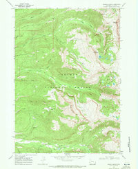
1968 Map of Granite Basin
USGS Topo · Published 1971About this map
Targhee National Forest dominates this 1968 landscape, where high mountain ridges and deep canyons define the boundary of Grand Teton National Park. The map documents the early infrastructure of the Grand Targhee Resort, identifying its initial Ski Lift and Parking Area at the base of Freds Mountain. The drainage patterns of the high country are meticulously recorded, with Leigh Creek and its many branches like North Fork Leigh Creek carving through the terrain near Commissary Ridge and Dry Ridge. Recreation and remote encampments are well-established, evidenced by the Treasure Mountain Camp in Teton Canyon and Teton Campground along Teton Creek. A network of backcountry routes, including the North Leigh Trail and Andy Stone Trail, connects high-altitude landmarks such as Granite Basin and the Green Lakes.
Find a feature on this map
48 named features on this map. Tap any name to fly to it.
Don’t see what you’re looking for? This feature index may not catch every label — zoom into the map to look around manually.
Map Details
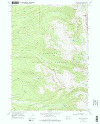
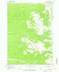
Editions of this 1968 Granite Basin Map
3 editions found
Other maps of this area

1899 · Grand Teton
USGS Topo · 1:125,000

1901 · Grand Teton
USGS Topo · 1:125,000

1943 · Driggs
USGS Topo · 1:62,500

1946 · Driggs
USGS Topo · 1:62,500

1955 · Driggs
USGS Topo · 1:250,000

1958 · Driggs
USGS Topo · 1:250,000

1962 · Driggs
USGS Topo · 1:250,000

1965 · Mc Renolds Reservoir
USGS Topo · 1:24,000

1965 · Clawson
USGS Topo · 1:24,000
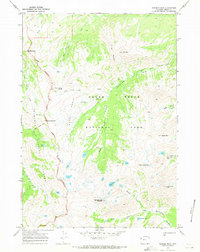
1968 · Ranger Peak
USGS Topo · 1:24,000