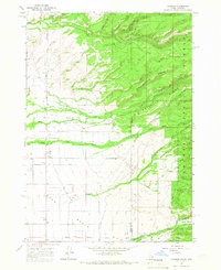
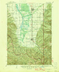
1965 Map of Clawson
USGS Topo · Published 1967About this map
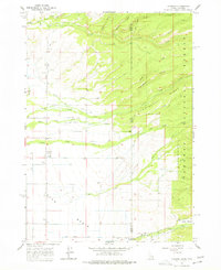
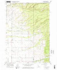
Agricultural development in the Teton Basin is defined by an intricate network of irrigation works, including the Edison and Ricks Canal, Kilpack Canal, and the Haden Canal. These waterways snake across the lowlands to support the small settlements of Clawson and Alta, providing a direct contrast to the steep, wooded slopes of the Teton National Forest that dominate the eastern half of the map.
Find a feature on this map
31 named features on this map. Tap any name to fly to it.
Don’t see what you’re looking for? This feature index may not catch every label — zoom into the map to look around manually.
Map Details
Editions of this 1965 Clawson Map
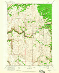
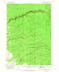
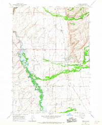
Other maps of this area

1899 · Grand Teton
USGS Topo · 1:125,000

1901 · Grand Teton
USGS Topo · 1:125,000
1943 · Driggs
USGS Topo · 1:62,500
1946 · Driggs
USGS Topo · 1:62,500

1955 · Driggs
USGS Topo · 1:250,000

1958 · Driggs
USGS Topo · 1:250,000

1962 · Driggs
USGS Topo · 1:250,000
1965 · Lamont
USGS Topo · 1:24,000
1965 · Mc Renolds Reservoir
USGS Topo · 1:24,000
1965 · Tetonia
USGS Topo · 1:24,000