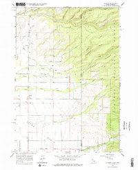
1965 Map of Clawson
USGS Topo · Published 1977About this map
The Teton Basin landscape in the mid-1960s is defined by a sophisticated network of irrigation infrastructure designed to manage the waters flowing from the high country. The small settlement of Clawson sits at the heart of this agricultural system, where the Haden Canal, Edison and Ricks Canal, and Kilpack Canal distribute water across the valley floor. Evidence of the region's ranching and farming foundations is visible through numerous named canals, including the Hog Canal and Center Canal, while a local Gravel Pit indicates the extraction of local materials for regional development.
Find a feature on this map
35 named features on this map. Tap any name to fly to it.
Don’t see what you’re looking for? This feature index may not catch every label — zoom into the map to look around manually.
Map Details
Editions of this 1965 Clawson Map
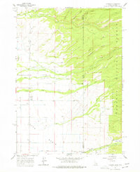
Other maps of this area

1899 · Grand Teton
USGS Topo · 1:125,000

1901 · Grand Teton
USGS Topo · 1:125,000

1943 · Driggs
USGS Topo · 1:62,500

1946 · Driggs
USGS Topo · 1:62,500

1955 · Driggs
USGS Topo · 1:250,000

1958 · Driggs
USGS Topo · 1:250,000

1962 · Driggs
USGS Topo · 1:250,000

1965 · Lamont
USGS Topo · 1:24,000

1965 · Mc Renolds Reservoir
USGS Topo · 1:24,000

1965 · Clawson
USGS Topo · 1:24,000