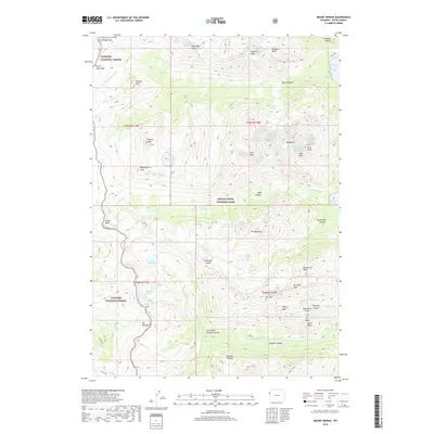
2018 Map of Mount Moran
USGS Topo · Published 2018About this map
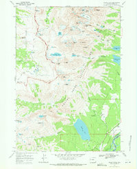
Mount Moran and the steep eastern face of the Teton Range dominate this high-altitude landscape, where the boundary between Grand Teton National Park and Targhee National Forest follows the crest of the divide. The map provides a precise record of the glaciated topography, featuring the Petersen Glacier and the Triple Glaciers clinging to the granite walls. Canyons such as Moran Canyon and Cascade Canyon cut deeply through the range, funneling snowmelt toward Jackson Lake and Leigh Lake.
Find a feature on this map
61 named features on this map. Tap any name to fly to it.
Don’t see what you’re looking for? This feature index may not catch every label — zoom into the map to look around manually.
Map Details
Editions of this 2018 Mount Moran Map
This is the sole edition of this map. No revisions or reprints were ever made.
Other maps of this area

1899 · Grand Teton
USGS Topo · 1:125,000

1901 · Grand Teton
USGS Topo · 1:125,000

1955 · Driggs
USGS Topo · 1:250,000

1958 · Driggs
USGS Topo · 1:250,000

1962 · Driggs
USGS Topo · 1:250,000
1968 · Granite Basin
USGS Topo · 1:24,000

1968 · Moose
USGS Topo · 1:24,000
1968 · Ranger Peak
USGS Topo · 1:24,000
1968 · Rammel Mountain
USGS Topo · 1:24,000
1968 · Grand Teton
USGS Topo · 1:24,000