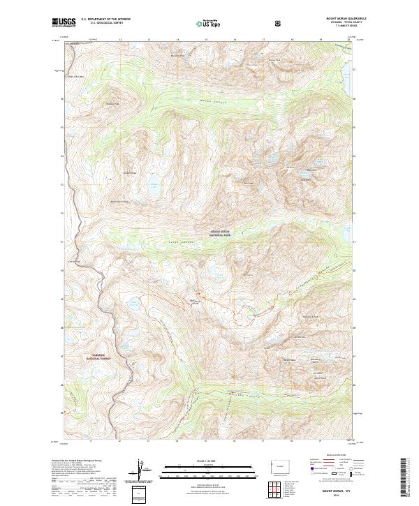
2021 Map of Mount Moran
USGS Topo · Published 2021About this map
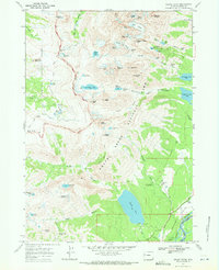
Grand Teton National Park and Targhee National Forest converge at the crest of the Teton Range on this 2021 topographic record. The landscape is defined by the high-altitude massifs of Mt Moran, Mt Woodring, and Mt Saint John, where active ice features like the Petersen Glacier, Skillet Glacier, and Falling Ice Glacier remain etched into the granite slopes. The drainage patterns of Moran Canyon, Leigh Canyon, and Cascade Canyon show the glacial carving that created water bodies such as Leigh Lake, Lake Solitude, and Mica Lake.
Find a feature on this map
66 named features on this map. Tap any name to fly to it.
Don’t see what you’re looking for? This feature index may not catch every label — zoom into the map to look around manually.
Map Details
Editions of this 2021 Mount Moran Map
This is the sole edition of this map. No revisions or reprints were ever made.
Other maps of this area

1899 · Grand Teton
USGS Topo · 1:125,000

1901 · Grand Teton
USGS Topo · 1:125,000

1955 · Driggs
USGS Topo · 1:250,000

1958 · Driggs
USGS Topo · 1:250,000

1962 · Driggs
USGS Topo · 1:250,000
1968 · Granite Basin
USGS Topo · 1:24,000

1968 · Moose
USGS Topo · 1:24,000
1968 · Ranger Peak
USGS Topo · 1:24,000
1968 · Rammel Mountain
USGS Topo · 1:24,000
1968 · Grand Teton
USGS Topo · 1:24,000