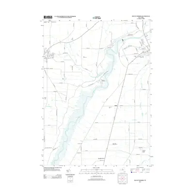
2013 Map of Mount Morris
USGS Topo · Published 2013About this map
The Genesee River carves a dramatic course through the landscape of the Letchworth State Park, where the Highbanks Campgrounds and steep terrain of Silver Lake Outlet define the river's path. This area is characterized by a high concentration of religious and municipal burial sites, including Saint Patrick's Cem, Saint Stanislaus Kostka Cem, and Mt Morris Cem. Outside the protected park lands, the region supports a network of large agricultural properties such as Old Acres Farm and Gardeau Crest Farm. Small aviation hubs like Scott's Sky Ranch Airport and the Tuscarora Plateau Airport sit near the crossroads of Brooks Grove and Ridge, illustrating the intersection of rural heritage and modern infrastructure in western New York.
Find a feature on this map
100 named features on this map. Tap any name to fly to it.
Don’t see what you’re looking for? This feature index may not catch every label — zoom into the map to look around manually.
Map Details
Editions of this 2013 Mount Morris Map
This is the sole edition of this map. No revisions or reprints were ever made.
Other maps of this area

1904 · Batavia
USGS Topo · 1:62,500

1904 · Caledonia
USGS Topo · 1:62,500

1905 · Portage
USGS Topo · 1:62,500

1905 · Nunda
USGS Topo · 1:62,500

1943 · Mount Morris
USGS Topo · 1:24,000

1943 · Sonyea
USGS Topo · 1:24,000

1943 · Nunda
USGS Topo · 1:24,000

1943 · Ossian
USGS Topo · 1:24,000

1943 · Castile
USGS Topo · 1:24,000

1943 · Portageville
USGS Topo · 1:24,000