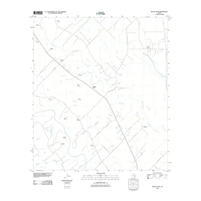
2010 Map of Mount Olive
USGS Topo · Published 2010About this map
Mount Olive and its surrounding rural Jackson County landscape are defined by the winding paths of the Navidad River and Lavaca River. This 2010 topographic survey documents a region deeply tied to its family and community roots, evidenced by an exceptional density of small burial grounds. From the Mount Olive Cemetery near the settlement center to the Burnettville Cemetery and Laughter Cemetery, these sites offer significant data for genealogical research. The local economy is represented by the Cordele Oil Field and Collier Oil Field, which sit alongside a network of country roads such as Budd Rd and Weigand Rd. The geography here shows a classic Texas coastal plain drainage pattern, with numerous tributaries like Milby Branch and Sutherland Creek feeding into the larger river systems that dominate the low-lying terrain.
Find a feature on this map
44 named features on this map. Tap any name to fly to it.
Don’t see what you’re looking for? This feature index may not catch every label — zoom into the map to look around manually.
Map Details
Editions of this 2010 Mount Olive Map
This is the sole edition of this map. No revisions or reprints were ever made.
Other maps of this area

1951 · Inez
USGS Topo · 1:24,000

1952 · Manson
USGS Topo · 1:24,000

1952 · Edna
USGS Topo · 1:24,000

1953 · Beeville
USGS Topo · 1:250,000

1953 · Seguin
USGS Topo · 1:250,000

1956 · Beeville
USGS Topo · 1:250,000

1958 · Seguin
USGS Topo · 1:250,000

1960 · Beeville
USGS Topo · 1:250,000

1963 · Ganado
USGS Topo · 1:24,000

1963 · Mount Olive
USGS Topo · 1:24,000