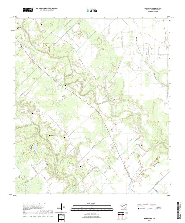
2022 Map of Mount Olive
USGS Topo · Published 2022About this map
The Navidad River and Lavaca River meander through this Jackson County landscape, defining the rural character of the region. This area is notably dense with family and local burial grounds, indicating generations of settled agricultural life along the river bottoms. Significant sites such as Mount Olive Cem and the Burnettville Cem serve as important anchors for local genealogy and heritage research.
Find a feature on this map
47 named features on this map. Tap any name to fly to it.
Don’t see what you’re looking for? This feature index may not catch every label — zoom into the map to look around manually.
Map Details
Editions of this 2022 Mount Olive Map
This is the sole edition of this map. No revisions or reprints were ever made.
Other maps of this area

1951 · Inez
USGS Topo · 1:24,000

1952 · Manson
USGS Topo · 1:24,000

1952 · Edna
USGS Topo · 1:24,000

1953 · Beeville
USGS Topo · 1:250,000

1953 · Seguin
USGS Topo · 1:250,000

1956 · Beeville
USGS Topo · 1:250,000

1958 · Seguin
USGS Topo · 1:250,000

1960 · Beeville
USGS Topo · 1:250,000

1963 · Ganado
USGS Topo · 1:24,000

1963 · Mount Olive
USGS Topo · 1:24,000