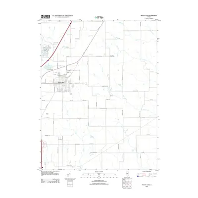
2012 Map of Mount Olive
USGS Topo · Published 2012About this map
Mount Olive and the smaller settlement of Carlsburg serve as the primary hubs in this region of Macoupin County, reflecting a landscape defined by its mining heritage and agricultural roots. The area is notable for its dense concentration of burial grounds, most significantly the Union Miners Cem and Miners Cem, which speak to the labor history and community identity of the local workforce. These sites, along with Immanuel Lutheran Cem and Cavalry Cem, provide a valuable spatial record for genealogists and local historians.
Find a feature on this map
94 named features on this map. Tap any name to fly to it.
Don’t see what you’re looking for? This feature index may not catch every label — zoom into the map to look around manually.
Map Details
Editions of this 2012 Mount Olive Map
This is the sole edition of this map. No revisions or reprints were ever made.
Other maps of this area

1912 · Gillespie
USGS Topo · 1:62,500

1915 · Gillespie
USGS Topo · 1:62,500

1915 · Mount Olive
USGS Topo · 1:62,500

1927 · Edwardsville
USGS Topo · 1:62,500

1932 · Edwardsville
USGS Topo · 1:62,500

1937 · New Douglas
USGS Topo · 1:48,000

1944 · New Douglas
USGS Topo · 1:62,500

1944 · Mount Olive
USGS Topo · 1:62,500

1954 · Worden
USGS Topo · 1:24,000
1954 · Edwardsville
USGS Topo · 1:62,500