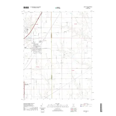
2018 Map of Mount Olive
USGS Topo · Published 2018About this map
The Union Miners Cem stands as a focal point of labor history near Mount Olive, reflecting the region's deep connection to the Illinois coal mining industry. This 2018 survey documents the intricate boundary where Macoupin and Montgomery counties meet, illustrating a landscape defined by small settlements like Carlsburg and the northern reaches of Staunton. The area is notably dense with commemorative sites, including Cavalry Cem, Mount Olive Cem, and several Lutheran churchyards, indicating a well-established and rooted community.
Find a feature on this map
109 named features on this map. Tap any name to fly to it.
Don’t see what you’re looking for? This feature index may not catch every label — zoom into the map to look around manually.
Map Details
Editions of this 2018 Mount Olive Map
This is the sole edition of this map. No revisions or reprints were ever made.
Other maps of this area

1912 · Gillespie
USGS Topo · 1:62,500

1915 · Gillespie
USGS Topo · 1:62,500

1915 · Mount Olive
USGS Topo · 1:62,500

1927 · Edwardsville
USGS Topo · 1:62,500

1932 · Edwardsville
USGS Topo · 1:62,500

1937 · New Douglas
USGS Topo · 1:48,000

1944 · New Douglas
USGS Topo · 1:62,500

1944 · Mount Olive
USGS Topo · 1:62,500

1954 · Worden
USGS Topo · 1:24,000
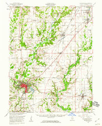
1954 · Edwardsville
USGS Topo · 1:62,500