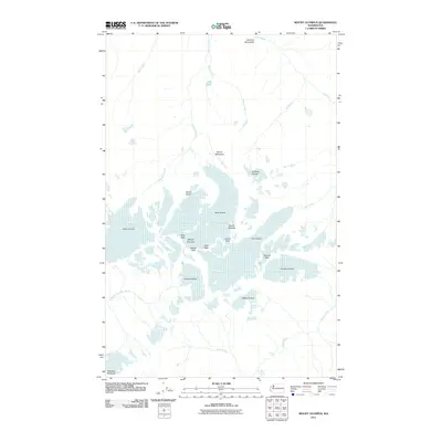
2011 Map of Mount Olympus
USGS Topo · Published 2011About this map
Mount Olympus and its triple-peaked summit dominate this high-elevation study of the Olympic Mountains on the Olympic Peninsula. The map reveals a complex glacial system radiating from the central massif, where the massive Blue Glacier and Hoh Glacier define the upper reaches of the river drainages. To the west and south, the White Glacier and Hubert Glacier cling to the steep slopes above the headwaters of the South Fork Hoh River.
Find a feature on this map
30 named features on this map. Tap any name to fly to it.
Don’t see what you’re looking for? This feature index may not catch every label — zoom into the map to look around manually.
Map Details
Editions of this 2011 Mount Olympus Map
This is the sole edition of this map. No revisions or reprints were ever made.
Other maps of this area

1935 · Mount Olympus
USGS Topo · 1:62,500

1939 · Mount Tom
USGS Topo · 1:62,500

1942 · Mount Olympus
USGS Topo · 1:62,500

1947 · Mt Christie
USGS Topo · 1:62,500

1950 · Mt Christie
USGS Topo · 1:62,500

1950 · Hurricane Hill
USGS Topo · 1:24,000
1950 · Bogachiel Peak
USGS Topo · 1:24,000
1950 · Mount Carrie
USGS Topo · 1:24,000

1956 · Mount Olympus
USGS Topo · 1:62,500

1956 · Kloochman Rock
USGS Topo · 1:62,500