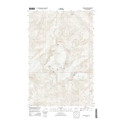
2014 Map of Mount Olympus
USGS Topo · Published 2014About this map
Mt Olympus and the surrounding high peaks of the Olympic Mountains dominate this 2014 survey of the central Olympic Peninsula. Within the boundaries of Olympic National Park, the landscape is defined by an intricate network of ice and water, including the massive Blue Glacier, Hoh Glacier, and Humes Glacier. These ice fields feed the headwaters of major regional drainages such as the Hoh River and the Queets River, illustrating the hydraulic connection between the high alpine interior and the coastal forests.
Find a feature on this map
31 named features on this map. Tap any name to fly to it.
Don’t see what you’re looking for? This feature index may not catch every label — zoom into the map to look around manually.
Map Details
Editions of this 2014 Mount Olympus Map
This is the sole edition of this map. No revisions or reprints were ever made.
Other maps of this area

1935 · Mount Olympus
USGS Topo · 1:62,500

1939 · Mount Tom
USGS Topo · 1:62,500

1942 · Mount Olympus
USGS Topo · 1:62,500

1947 · Mt Christie
USGS Topo · 1:62,500

1950 · Mt Christie
USGS Topo · 1:62,500

1950 · Hurricane Hill
USGS Topo · 1:24,000
1950 · Bogachiel Peak
USGS Topo · 1:24,000
1950 · Mount Carrie
USGS Topo · 1:24,000

1956 · Mount Olympus
USGS Topo · 1:62,500

1956 · Kloochman Rock
USGS Topo · 1:62,500