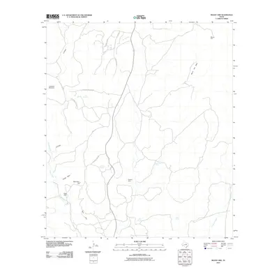
2010 Map of Mount Ord
USGS Topo · Published 2010About this map
Mount Ord and the surrounding high desert terrain define this corner of Brewster County, where the topography shifts between prominent peaks and hidden basins. The map illustrates a landscape shaped by intermittent water sources and dramatic elevations, including Cathedral Mountain and Eagle Peak. A network of unpaved ranch roads like Posie Gulch Rd and Cathedral Mountain Rd navigate the folds of the land, connecting isolated landmarks such as Open Mine Hill and the Panther Hole basin.
Find a feature on this map
22 named features on this map. Tap any name to fly to it.
Don’t see what you’re looking for? This feature index may not catch every label — zoom into the map to look around manually.
Map Details
Editions of this 2010 Mount Ord Map
This is the sole edition of this map. No revisions or reprints were ever made.
Other maps of this area

1895 · Alpine
USGS Topo · 1:125,000

1920 · Monument Spring
USGS Topo · 1:62,500

1921 · Monument Spring
USGS Topo · 1:62,500

1923 · Altuda
USGS Topo · 1:62,500

1954 · Fort Stockton
USGS Topo · 1:250,000

1958 · Fort Stockton
USGS Topo · 1:250,000

1972 · Bird Mountain
USGS Topo · 1:24,000

1972 · Alpine South
USGS Topo · 1:24,000

1973 · Fort Stockton
USGS Topo · 1:250,000
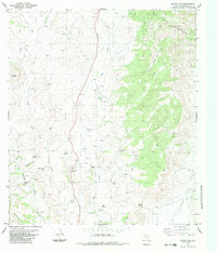
1983 · Mount Ord
USGS Topo · 1:24,000