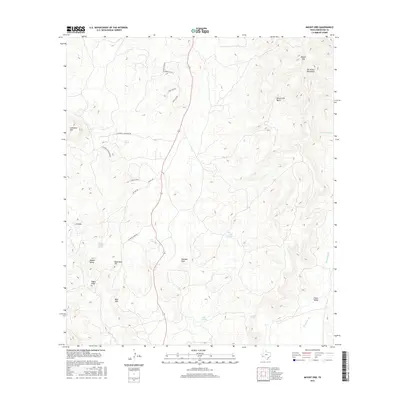
2016 Map of Mount Ord
USGS Topo · Published 2016About this map
Mount Ord and the surrounding Del Norte Mountains define the high-elevation landscape of this Brewster County region. The topography is dominated by dramatic peaks and basins, including the high-walled Mount Ord Basin and the distinct profile of Eagle Peak. Water sources are critical landmarks in this arid environment, represented by a network of seasonal drainages and springs such as Calamity Cr, Clark Springs, and Fiftytwo Spring.
Find a feature on this map
29 named features on this map. Tap any name to fly to it.
Don’t see what you’re looking for? This feature index may not catch every label — zoom into the map to look around manually.
Map Details
Editions of this 2016 Mount Ord Map
This is the sole edition of this map. No revisions or reprints were ever made.
Other maps of this area

1895 · Alpine
USGS Topo · 1:125,000

1920 · Monument Spring
USGS Topo · 1:62,500

1921 · Monument Spring
USGS Topo · 1:62,500

1923 · Altuda
USGS Topo · 1:62,500

1954 · Fort Stockton
USGS Topo · 1:250,000

1958 · Fort Stockton
USGS Topo · 1:250,000

1972 · Bird Mountain
USGS Topo · 1:24,000

1972 · Alpine South
USGS Topo · 1:24,000

1973 · Fort Stockton
USGS Topo · 1:250,000
1983 · Mount Ord
USGS Topo · 1:24,000