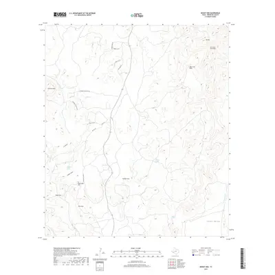
2019 Map of Mount Ord
USGS Topo · Published 2019About this map
The high peaks of the Del Norte Mountains define this section of the Trans-Pecos, anchored by the massive profiles of Mt Ord and Cathedral Mtn. This modern survey illustrates a landscape of stark elevation changes, where named springs such as Nine Troughs Spring, Hidden Valley Spring, and Clark Springs provide vital water sources in a complex drainage network that includes Calamity Cr and Maravillas Cr.
Find a feature on this map
28 named features on this map. Tap any name to fly to it.
Don’t see what you’re looking for? This feature index may not catch every label — zoom into the map to look around manually.
Map Details
Editions of this 2019 Mount Ord Map
This is the sole edition of this map. No revisions or reprints were ever made.
Other maps of this area

1895 · Alpine
USGS Topo · 1:125,000

1920 · Monument Spring
USGS Topo · 1:62,500

1921 · Monument Spring
USGS Topo · 1:62,500

1923 · Altuda
USGS Topo · 1:62,500

1954 · Fort Stockton
USGS Topo · 1:250,000

1958 · Fort Stockton
USGS Topo · 1:250,000

1972 · Bird Mountain
USGS Topo · 1:24,000

1972 · Alpine South
USGS Topo · 1:24,000

1973 · Fort Stockton
USGS Topo · 1:250,000
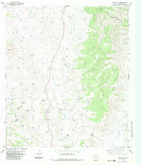
1983 · Mount Ord
USGS Topo · 1:24,000