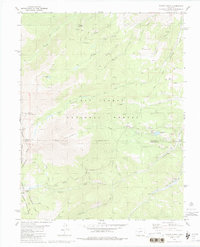
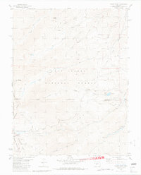
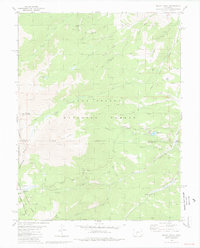
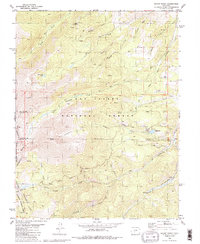
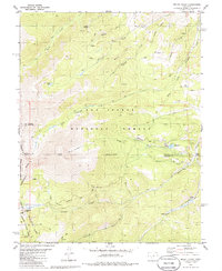
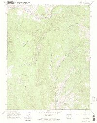
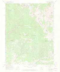
1980 Map of Mount Ouray
USGS Topo · Published 1988About this map
Continental Divide serves as the literal and geographic spine of this high-altitude landscape, separating the San Isabel National Forest and the Gunnison National Forest. The map documents a rugged alpine environment dominated by peaks such as Mount Ouray and Chipeta Mountain, with the dramatic Devils Armchair defining the local topography. At lower elevations, the network of water bodies including O'Haver Lake and Pass Creek Lake provides focal points for the O'Haver Lake Campground, illustrating the area's transition toward recreational use by the late 1970s.
Find a feature on this map
33 named features on this map. Tap any name to fly to it.
Don’t see what you’re looking for? This feature index may not catch every label — zoom into the map to look around manually.
Map Details
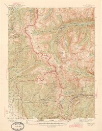
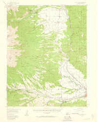
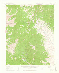
Editions of this 1980 Mount Ouray Map
5 editions found
Other maps of this area

1940 · Garfield
USGS Topo · 1:62,500
1945 · Garfield
USGS Topo · 1:62,500
1956 · Poncha Springs
USGS Topo · 1:62,500

1956 · Montrose
USGS Topo · 1:250,000

1959 · Montrose
USGS Topo · 1:250,000
1959 · Bonanza
USGS Topo · 1:62,500

1960 · Montrose
USGS Topo · 1:250,000
1967 · Chester
USGS Topo · 1:24,000
1967 · Pahlone Peak
USGS Topo · 1:24,000

1968 · Montrose
USGS Topo · 1:250,000