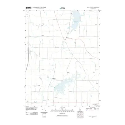
2010 Map of Mount Pleasant
USGS Topo · Published 2010About this map
Summit Lake Reservoir and the Big Blue River define this eastern Indiana landscape, where water management and agriculture have long shaped the community. The area is dotted with small rural crossroads and historical hamlets such as Mount Pleasant, Rogersville, and Luray. This 2010 survey illustrates the continued importance of regional water resources, featuring the expansive Prairie Creek Reservoir in the north and the jagged fingers of the southern reservoir.
Find a feature on this map
78 named features on this map. Tap any name to fly to it.
Don’t see what you’re looking for? This feature index may not catch every label — zoom into the map to look around manually.
Map Details
Editions of this 2010 Mount Pleasant Map
This is the sole edition of this map. No revisions or reprints were ever made.
Other maps of this area

1949 · New Castle West
USGS Topo · 1:24,000

1950 · New Castle East
USGS Topo · 1:24,000

1952 · Muncie East
USGS Topo · 1:24,000

1952 · Farmland
USGS Topo · 1:24,000

1952 · Muncie West
USGS Topo · 1:24,000

1953 · Cincinnati
USGS Topo · 1:250,000

1953 · Muncie
USGS Topo · 1:250,000

1956 · Muncie
USGS Topo · 1:250,000

1957 · Cincinnati
USGS Topo · 1:250,000

1960 · New Castle West
USGS Topo · 1:24,000