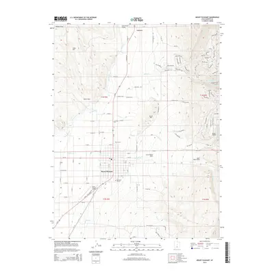
2014 Map of Mount Pleasant
USGS Topo · Published 2014About this map
Mount Pleasant and Fairview anchor this Sanpete County landscape where the Wasatch Range meets the valley floor. The settlement pattern here follows the irrigation and drainage requirements of the high desert, with the San Pitch River meandering through the western plains while numerous mountain streams like Birch Cr and Pleasant Cr descend from the eastern peaks. Notable infrastructure includes the Mount Pleasant Airport and the Mt Pleasant City Cem, alongside the Basin Drive-In theatre along Us-89. The map reveals complex water management through features like the Upper Debris Basin and Lower Debris Basin, vital for protecting the developed areas from mountain runoff. To the north, the residential layout of Fairview is captured at the base of Cottonwood Canyon, showing the town's position as a gateway to the higher elevations of the Cedar Hills.
Find a feature on this map
115 named features on this map. Tap any name to fly to it.
Don’t see what you’re looking for? This feature index may not catch every label — zoom into the map to look around manually.
Map Details
Editions of this 2014 Mount Pleasant Map
This is the sole edition of this map. No revisions or reprints were ever made.
Other maps of this area
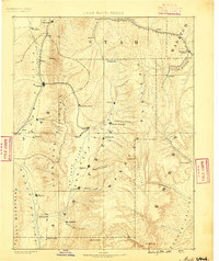
1885 · Manti
USGS Topo · 1:250,000
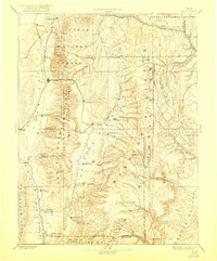
1895 · Manti
USGS Topo · 1:250,000
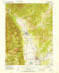
1951 · Moroni
USGS Topo · 1:62,500
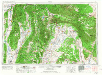
1956 · Price
USGS Topo · 1:250,000
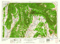
1960 · Price
USGS Topo · 1:250,000
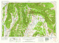
1962 · Price
USGS Topo · 1:250,000
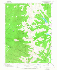
1965 · Huntington Reservoir
USGS Topo · 1:24,000
1965 · Fairview Lakes
USGS Topo · 1:24,000
1966 · Spring City
USGS Topo · 1:24,000
1966 · Chester
USGS Topo · 1:24,000