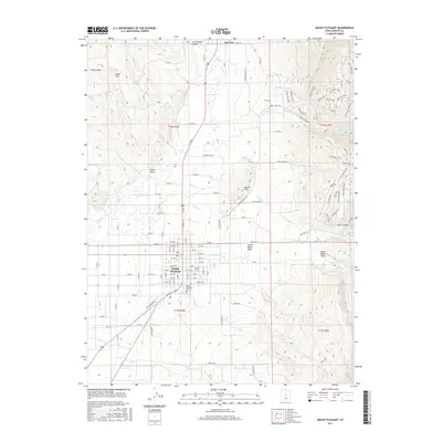
2017 Map of Mount Pleasant
USGS Topo · Published 2017About this map
Mount Pleasant sits at the base of the mountain front, where the canyon waters of Pleasant Cr meet the agricultural valley. This 2017 survey shows the town's classic Mormon grid layout, centered on a post office and extending toward the Mount Pleasant City Cem. To the north, the smaller settlement of Fairview marks the upper reach of the valley near Cottonwood Canyon. The landscape here is defined by water management and topography, with the San Pitch River draining the western flats while the Lower Debris Basin and Upper Debris Basin provide essential flood control for the communities below. Between the peaks and the valley floor, named landmarks like the Cedar Hills, Round Hills, and Dublin Wash illustrate the transition from the high plateau to the irrigated fields that have sustained these Sanpete County towns for generations.
Find a feature on this map
108 named features on this map. Tap any name to fly to it.
Don’t see what you’re looking for? This feature index may not catch every label — zoom into the map to look around manually.
Map Details
Editions of this 2017 Mount Pleasant Map
This is the sole edition of this map. No revisions or reprints were ever made.
Other maps of this area
1885 · Manti
USGS Topo · 1:250,000
1895 · Manti
USGS Topo · 1:250,000
1951 · Moroni
USGS Topo · 1:62,500
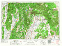
1956 · Price
USGS Topo · 1:250,000
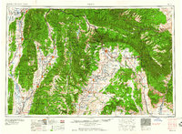
1960 · Price
USGS Topo · 1:250,000
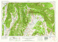
1962 · Price
USGS Topo · 1:250,000
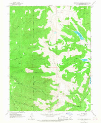
1965 · Huntington Reservoir
USGS Topo · 1:24,000
1965 · Fairview Lakes
USGS Topo · 1:24,000
1966 · Spring City
USGS Topo · 1:24,000
1966 · Chester
USGS Topo · 1:24,000