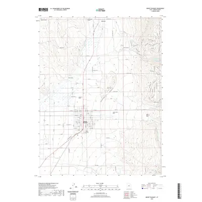
2020 Map of Mount Pleasant
USGS Topo · Published 2020About this map
Mount Pleasant and Fairview anchor this portion of the Sanpete Valley, situated where the floor of the basin meets the rising slopes of the Wasatch Range. The landscape is defined by the drainage systems of the San Pitch River and Birch Cr, which flow toward the central valley. Of particular interest to local historians is the Mount Pleasant City Cem, located on the southern edge of town near the intersection of the grid-patterned streets and the highway. The map illustrates modern flood control infrastructure, including the Lower Debris Basin and Upper Debris Basin situated along Pleasant Cr. These features, along with the numerous canyons like Cottonwood Canyon, emphasize the importance of managing water runoff from the high peaks of the Cedar Hills into the agricultural and residential zones of the valley.
Find a feature on this map
102 named features on this map. Tap any name to fly to it.
Don’t see what you’re looking for? This feature index may not catch every label — zoom into the map to look around manually.
Map Details
Editions of this 2020 Mount Pleasant Map
This is the sole edition of this map. No revisions or reprints were ever made.
Other maps of this area

1885 · Manti
USGS Topo · 1:250,000

1895 · Manti
USGS Topo · 1:250,000

1951 · Moroni
USGS Topo · 1:62,500

1956 · Price
USGS Topo · 1:250,000

1960 · Price
USGS Topo · 1:250,000

1962 · Price
USGS Topo · 1:250,000

1965 · Huntington Reservoir
USGS Topo · 1:24,000

1965 · Fairview Lakes
USGS Topo · 1:24,000

1966 · Spring City
USGS Topo · 1:24,000

1966 · Chester
USGS Topo · 1:24,000