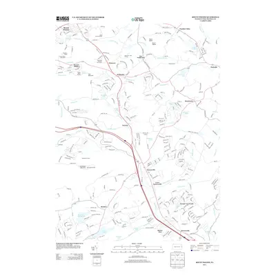
2013 Map of Mount Pocono
USGS Topo · Published 2013About this map
Mount Pocono and its surrounding resorts anchor this 2013 survey of the Poconos, showcasing a landscape defined by seasonal tourism and complex hydrology. The map details the transition from high-elevation peaks like Camelback Mountain and Deer Mountain to the lower-lying settlements of Tannersville and Bartonsville. The geography is etched by numerous water bodies, including Swiftwater Cr and Pocono Cr, which weave through historic villages like Scotrun and Reeders.
Find a feature on this map
279 named features on this map. Tap any name to fly to it.
Don’t see what you’re looking for? This feature index may not catch every label — zoom into the map to look around manually.
Map Details
Editions of this 2013 Mount Pocono Map
This is the sole edition of this map. No revisions or reprints were ever made.
Other maps of this area

1891 · Delaware Water Gap
USGS Topo · 1:62,500

1893 · Delaware Water Gap
USGS Topo · 1:62,500

1914 · Wind Gap
USGS Topo · 1:62,500

1916 · Wind Gap
USGS Topo · 1:62,500

1919 · Pocono
USGS Topo · 1:62,500

1921 · Pocono
USGS Topo · 1:62,500

1923 · Pocono
USGS Topo · 1:62,500

1924 · Bushkill
USGS Topo · 1:48,000

1936 · Delaware Water Gap
USGS Topo · 1:48,000

1941 · Delaware Water Gap
USGS Topo · 1:62,500
Featured Places
- Mount Pocono, PA
- Tannersville, Pocono Township
- Paradise Township, PA
- Reeders, Jackson Township
- Stroud Township, PA