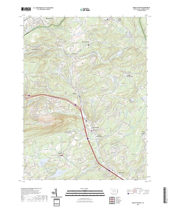
2023 Map of Mount Pocono
USGS Topo · Published 2023About this map
Mount Pocono and the surrounding Monroe County highlands are defined by a complex network of mountain streams and scattered resort-era settlements. The landscape transitions from the protected lands of the Delaware Water Gap National Recreation Area and Forest Hills Run to the developed corridors of Tannersville and Bartonsville. Extensive water features such as Swiftwater Creek, Paradise Creek, and Cranberry Creek drain the plateau, while numerous small lakes like Brookdale Lake and Lake Minausin highlight the area's recreational geography.
Find a feature on this map
253 named features on this map. Tap any name to fly to it.
Don’t see what you’re looking for? This feature index may not catch every label — zoom into the map to look around manually.
Map Details
Editions of this 2023 Mount Pocono Map
This is the sole edition of this map. No revisions or reprints were ever made.
Other maps of this area

1891 · Delaware Water Gap
USGS Topo · 1:62,500

1893 · Delaware Water Gap
USGS Topo · 1:62,500

1914 · Wind Gap
USGS Topo · 1:62,500

1916 · Wind Gap
USGS Topo · 1:62,500

1919 · Pocono
USGS Topo · 1:62,500

1921 · Pocono
USGS Topo · 1:62,500

1923 · Pocono
USGS Topo · 1:62,500

1924 · Bushkill
USGS Topo · 1:48,000

1936 · Delaware Water Gap
USGS Topo · 1:48,000

1941 · Delaware Water Gap
USGS Topo · 1:62,500
Featured Places
- Mount Pocono, PA
- Pocono Manor, Pocono Township
- Swiftwater, Pocono Township
- Tannersville, Pocono Township
- Bartonsville, Pocono Township