
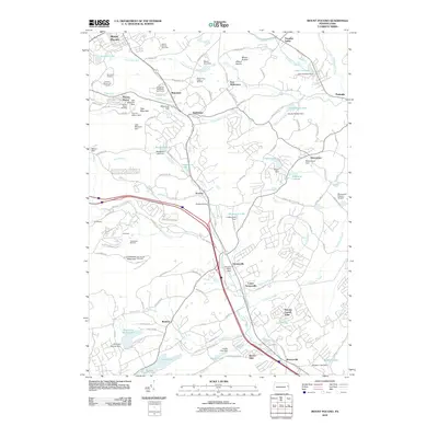
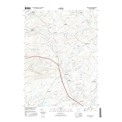
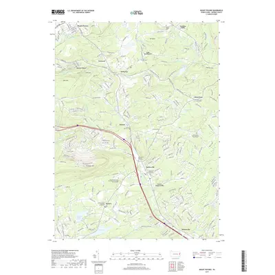
1999 Map of Mount Pocono
USGS Topo · Published 2001About this map
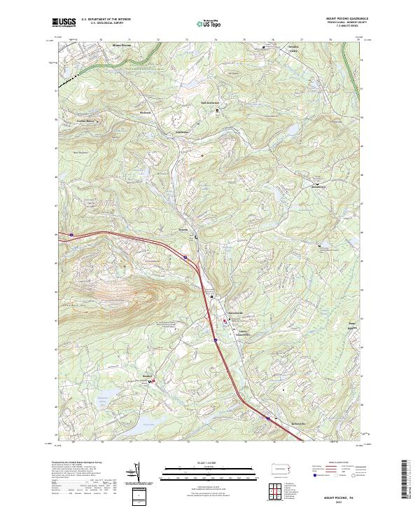
Mount Pocono and the surrounding resort landscape of Monroe County appear here at the close of the twentieth century, defined by a mix of early-twentieth-century estates and modern recreational development. The map details a sophisticated network of hospitality and community sites, ranging from the historic Pocono Manor and St Marys Villa to the expansive Big Pocono State Park and Camelback Mountain. The landscape is heavily marked by water and wood, with numerous named features like Huckleberry Swamp, Swiftwater Lake, and the trout-rich waters of Trout Lake and Mountain Spring Lake.
Find a feature on this map
77 named features on this map. Tap any name to fly to it.
Don’t see what you’re looking for? This feature index may not catch every label — zoom into the map to look around manually.
Map Details
Editions of this 1999 Mount Pocono Map
This is the sole edition of this map. No revisions or reprints were ever made.
Historical Maps of Mount Pocono Through Time
8 maps found


Featured Locations
- Mount Pocono, PA
- Paradise Township, PA
- Pocono Township, PA
- Swiftwater, Pocono Township
- Bartonsville, Pocono Township