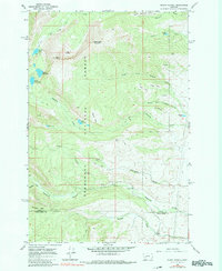
1967 Map of Mount Powell
USGS Topo · Published 1980About this map
Deer Lodge National Forest dominates this high-altitude landscape, where the ridge line of Thornton Ridge and the heights of Mount Powell define the continental divide's character in the late 1960s. The topography is defined by glacial features and high basins, notably The Crater and the broad meadow of South America Park. Water flows from alpine sources like Martin Lake and Upper Elliot Lake, feeding the many forks of Dempsey Creek and Racetrack Creek. Human presence is sparse and focused on the edges of the wilderness, including several Mines tucked into the slopes and the Racetrack Campground near the Guard Station. This survey captures the area just before the 1970s, documenting a landscape used for both resource extraction and backcountry recreation, from the depths of Bielenberg Canyon to the summit of Baldy.
Find a feature on this map
41 named features on this map. Tap any name to fly to it.
Don’t see what you’re looking for? This feature index may not catch every label — zoom into the map to look around manually.
Map Details
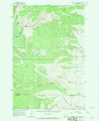
Editions of this 1967 Mount Powell Map
2 editions found
Other maps of this area

1889 · Helena
USGS Topo · 1:250,000

1893 · Helena
USGS Topo · 1:250,000

1899 · Helena
USGS Topo · 1:250,000

1903 · Helena
USGS Topo · 1:250,000

1908 · Philipsburg
USGS Topo · 1:125,000

1947 · Butte
USGS Topo · 1:250,000

1958 · Butte
USGS Topo · 1:250,000

1960 · Butte
USGS Topo · 1:250,000

1961 · Anaconda
USGS Topo · 1:62,500

1962 · Butte
USGS Topo · 1:250,000