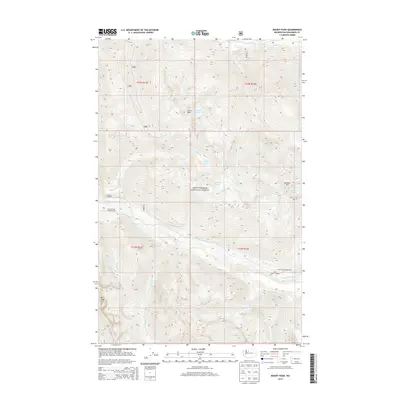
2014 Map of Mount Pugh
USGS Topo · Published 2014About this map
Mount Baker National Forest dominates this section of the Cascade Range, centered on the high peak of Mt Pugh. The 2014 survey documents the hydrographic network of high-altitude basins, where Crystal Lake, Indigo Lake, and Emerald Lake feed numerous steep drainages including Crystal Cr and Indigo Cr. The topography is defined by prominent elevations such as Circle Peak and Meadow Mtn, which overlook the valley of the White Chuck River. Human presence is concentrated at recreational outposts along the river corridors, notably at Crystal Creek Campground and Owl Creek Campground. The map also traces several creeks with evocative local names, including Dead Duck Cr, Pugh Cr, and Camp Cr, illustrating the watershed patterns within the t32n r11e and t31n r12e townships.
Find a feature on this map
26 named features on this map. Tap any name to fly to it.
Don’t see what you’re looking for? This feature index may not catch every label — zoom into the map to look around manually.
Map Details
Editions of this 2014 Mount Pugh Map
This is the sole edition of this map. No revisions or reprints were ever made.
Other maps of this area
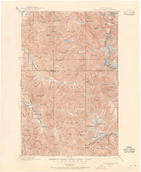
1899 · Glacier Peak
USGS Topo · 1:125,000
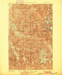
1901 · Glacier Peak
USGS Topo · 1:125,000
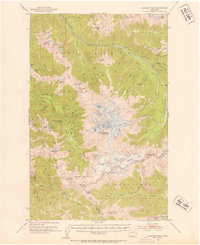
1950 · Glacier Peak
USGS Topo · 1:62,500

1955 · Concrete
USGS Topo · 1:250,000

1958 · Concrete
USGS Topo · 1:250,000

1962 · Concrete
USGS Topo · 1:250,000
1963 · Downey Mtn
USGS Topo · 1:24,000
1966 · Huckleberry Mtn
USGS Topo · 1:24,000
1966 · Sloan Peak
USGS Topo · 1:24,000
1966 · Pugh Mountain
USGS Topo · 1:24,000