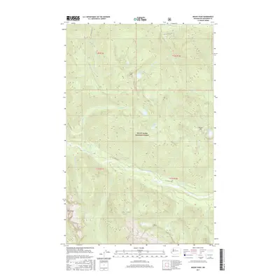
2017 Map of Mount Pugh
USGS Topo · Published 2017About this map
Mount Pugh stands as the dominant topographical feature in this high-altitude section of the Mount Baker National Forest. The landscape is defined by the steep drainage basins of the White Chuck River, which receives water from several alpine basins. High-elevation water bodies like Crystal Lake, Meadow Lake, and Indigo Lake are scattered throughout the peaks, reflecting the complex glacial hydrology of the Cascade Range.
Find a feature on this map
28 named features on this map. Tap any name to fly to it.
Don’t see what you’re looking for? This feature index may not catch every label — zoom into the map to look around manually.
Map Details
Editions of this 2017 Mount Pugh Map
This is the sole edition of this map. No revisions or reprints were ever made.
Other maps of this area
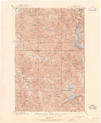
1899 · Glacier Peak
USGS Topo · 1:125,000
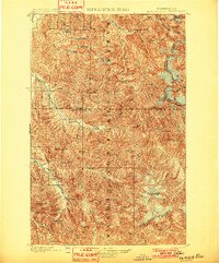
1901 · Glacier Peak
USGS Topo · 1:125,000
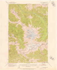
1950 · Glacier Peak
USGS Topo · 1:62,500

1955 · Concrete
USGS Topo · 1:250,000

1958 · Concrete
USGS Topo · 1:250,000

1962 · Concrete
USGS Topo · 1:250,000
1963 · Downey Mtn
USGS Topo · 1:24,000
1966 · Huckleberry Mtn
USGS Topo · 1:24,000
1966 · Sloan Peak
USGS Topo · 1:24,000
1966 · Pugh Mountain
USGS Topo · 1:24,000