
2020 Map of Mount Pugh
USGS Topo · Published 2020About this map
Mount Baker National Forest encompasses this landscape in the North Cascades, dominated by the massive relief of Mt Pugh and Circle Peak. The terrain is defined by the deep drainage of the White Chuck River and several alpine basins holding remote waters like Crystal Lake and Indigo Lake. High-altitude trails such as the Crystal Lake Trail and Meadow Lake Trail provide the primary access through this steep backcountry, while the Whitechuck Bench offers a rare level traverse above the river valley. The northern edge of the sheet is marked by the protected corridor of the Skagit Wild and Scenic River, reflecting a modern era of federal conservation. This survey illustrates the intricate drainage patterns of the region, where numerous named creeks like Lime Cr and Owl Cr feed the larger river systems through narrow, glaciated valleys.
Find a feature on this map
27 named features on this map. Tap any name to fly to it.
Don’t see what you’re looking for? This feature index may not catch every label — zoom into the map to look around manually.
Map Details
Editions of this 2020 Mount Pugh Map
This is the sole edition of this map. No revisions or reprints were ever made.
Other maps of this area
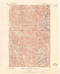
1899 · Glacier Peak
USGS Topo · 1:125,000
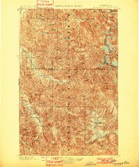
1901 · Glacier Peak
USGS Topo · 1:125,000
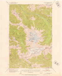
1950 · Glacier Peak
USGS Topo · 1:62,500

1955 · Concrete
USGS Topo · 1:250,000

1958 · Concrete
USGS Topo · 1:250,000

1962 · Concrete
USGS Topo · 1:250,000
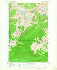
1963 · Downey Mtn
USGS Topo · 1:24,000
1966 · Huckleberry Mtn
USGS Topo · 1:24,000
1966 · Sloan Peak
USGS Topo · 1:24,000
1966 · Pugh Mountain
USGS Topo · 1:24,000