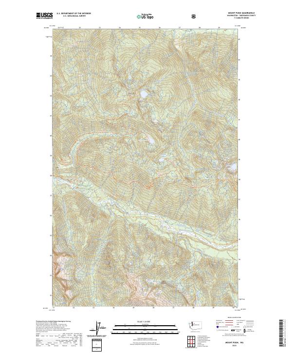
2023 Map of Mount Pugh
USGS Topo · Published 2023About this map
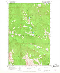
Glacier Peak Wilderness and the Mount Baker National Forest define this high-altitude section of the North Cascades in Snohomish County. The landscape is dominated by the White Chuck River corridor and its numerous tributaries, including Pugh Creek, Dead Duck Creek, and Camp Creek. High peaks and ridges such as Circle Peak and Meadow Mtn are accessible via an established network of primitive paths, including the Circle Peak Trl and Meadow Mtn Trl.
Find a feature on this map
28 named features on this map. Tap any name to fly to it.
Don’t see what you’re looking for? This feature index may not catch every label — zoom into the map to look around manually.
Map Details
Editions of this 2023 Mount Pugh Map
This is the sole edition of this map. No revisions or reprints were ever made.
Other maps of this area

1899 · Glacier Peak
USGS Topo · 1:125,000

1901 · Glacier Peak
USGS Topo · 1:125,000

1950 · Glacier Peak
USGS Topo · 1:62,500

1955 · Concrete
USGS Topo · 1:250,000

1958 · Concrete
USGS Topo · 1:250,000

1962 · Concrete
USGS Topo · 1:250,000
1963 · Downey Mtn
USGS Topo · 1:24,000
1966 · Huckleberry Mtn
USGS Topo · 1:24,000
1966 · Sloan Peak
USGS Topo · 1:24,000
1966 · Pugh Mountain
USGS Topo · 1:24,000