
2011 Map of Mount Queets
USGS Topo · Published 2011About this map
Mount Queets and its surrounding peaks define this high-elevation wilderness in Clallam County. This survey shows a landscape dominated by the Bailey Range, where massive geological features like Stephen Peak and Mount Meany tower over glacial basins. The headwaters of several major waterways are captured here, including the Queets River emerging from the Queets Glacier and the upper reaches of the Goldie River. The map provides a look at the hydrography of the region before more recent environmental changes, documenting the exact reach of ice and snow at the start of the 21st century. High-altitude passes such as Bear Pass and Dodwell-Rixon Pass indicate the traditional routes through the terrain, while landmarks like Dodger Point and Mount Scott serve as essential reference points for this high-country environment.
Find a feature on this map
24 named features on this map. Tap any name to fly to it.
Don’t see what you’re looking for? This feature index may not catch every label — zoom into the map to look around manually.
Map Details
Editions of this 2011 Mount Queets Map
This is the sole edition of this map. No revisions or reprints were ever made.
Other maps of this area
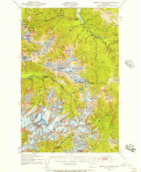
1935 · Mount Olympus
USGS Topo · 1:62,500
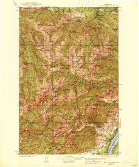
1938 · Mt Constance
USGS Topo · 1:125,000
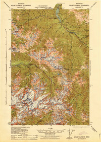
1942 · Mount Olympus
USGS Topo · 1:62,500
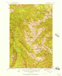
1944 · Mt. Angeles
USGS Topo · 1:62,500
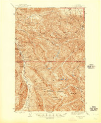
1946 · Mt. Angeles
USGS Topo · 1:62,500
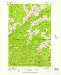
1947 · Mt. Steel
USGS Topo · 1:62,500
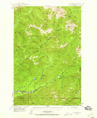
1947 · Mt Christie
USGS Topo · 1:62,500
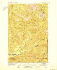
1950 · Mt Christie
USGS Topo · 1:62,500
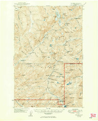
1950 · Mt. Steel
USGS Topo · 1:62,500
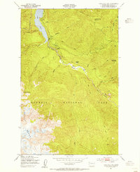
1950 · Hurricane Hill
USGS Topo · 1:24,000