
2017 Map of Mount Queets
USGS Topo · Published 2017About this map
Mount Queets and the high peaks of the Bailey Range dominate this portion of Olympic National Park, where the headwaters of several major river systems originate. The drainage patterns shown here reflect the high-altitude hydrology of the Olympic Mountains, including the Queets Glacier feeding the Queets River and the source waters of the Elwha River within the Elwha Basin. Notable topographic landmarks like Mt Ferry, Stephen Peak, and Mt Meany define the crests that separate these watersheds. This survey captures a landscape primarily defined by its natural features and protected status, with names like Dodwell-Rixon Pass and Bear Pass marking the few traversable routes through the high country. Isolated alpine features such as Cream Lake and Queets Basin provide specific points of interest for those studying the interior wilderness of the Olympic Peninsula.
Find a feature on this map
32 named features on this map. Tap any name to fly to it.
Don’t see what you’re looking for? This feature index may not catch every label — zoom into the map to look around manually.
Map Details
Editions of this 2017 Mount Queets Map
This is the sole edition of this map. No revisions or reprints were ever made.
Other maps of this area
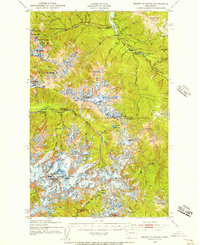
1935 · Mount Olympus
USGS Topo · 1:62,500
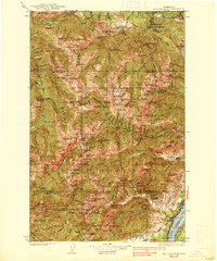
1938 · Mt Constance
USGS Topo · 1:125,000
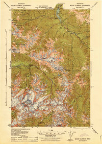
1942 · Mount Olympus
USGS Topo · 1:62,500
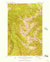
1944 · Mt. Angeles
USGS Topo · 1:62,500
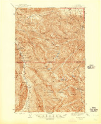
1946 · Mt. Angeles
USGS Topo · 1:62,500
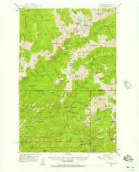
1947 · Mt. Steel
USGS Topo · 1:62,500
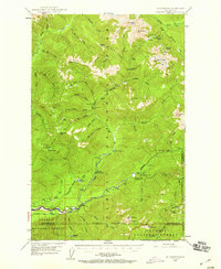
1947 · Mt Christie
USGS Topo · 1:62,500
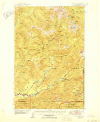
1950 · Mt Christie
USGS Topo · 1:62,500
1950 · Mt. Steel
USGS Topo · 1:62,500
1950 · Hurricane Hill
USGS Topo · 1:24,000