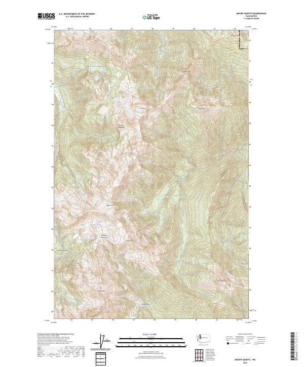
2023 Map of Mount Queets
USGS Topo · Published 2023About this map
The Bailey Range and the high summits of the Olympic Mountains dominate this contemporary survey, capturing a landscape defined by glacial activity and high-altitude basins. The map provides clear documentation of the Queets Glacier and the Queets Basin, which serve as the headwaters for the Queets River. This region remains protected as part of Olympic National Park and the Olympic Wilderness, preserving a terrain that has seen little human infrastructure beyond traditional footpaths.
Find a feature on this map
35 named features on this map. Tap any name to fly to it.
Don’t see what you’re looking for? This feature index may not catch every label — zoom into the map to look around manually.
Map Details
Editions of this 2023 Mount Queets Map
This is the sole edition of this map. No revisions or reprints were ever made.
Other maps of this area

1935 · Mount Olympus
USGS Topo · 1:62,500

1938 · Mt Constance
USGS Topo · 1:125,000

1942 · Mount Olympus
USGS Topo · 1:62,500

1944 · Mt. Angeles
USGS Topo · 1:62,500

1946 · Mt. Angeles
USGS Topo · 1:62,500

1947 · Mt. Steel
USGS Topo · 1:62,500

1947 · Mt Christie
USGS Topo · 1:62,500

1950 · Mt Christie
USGS Topo · 1:62,500

1950 · Mt. Steel
USGS Topo · 1:62,500

1950 · Hurricane Hill
USGS Topo · 1:24,000