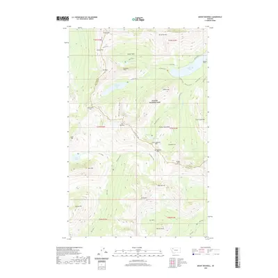
2020 Map of Mount Rockwell
USGS Topo · Published 2020About this map
Glacier National Park defines this corner of the Continental Divide, where high-altitude drainages feed the major lake systems of the Two Medicine region. The topographic character of the area is shaped by massive peaks like Mt Rockwell and Rising Wolf Mtn, with a network of trails providing access to deep basins and narrow saddles. Strategic routes such as Dawson Pass and Two Medicine Pass connect the different valleys, reflecting the historical importance of these corridors for travel through the Lewis Range. From the waters of Upper Two Medicine Lake to the secluded Lake Isabel, the map records a landscape of glacial cirques and dramatic vertical relief. Significant landmarks like Pumpelly Pillar and Sinopah Mtn stand as notable pillars over the Bighorn Basin, while numerous waterfalls such as Twin Falls and Rockwell Falls mark the descent of snowmelt into the valley bottoms.
Find a feature on this map
51 named features on this map. Tap any name to fly to it.
Don’t see what you’re looking for? This feature index may not catch every label — zoom into the map to look around manually.
Map Details
Editions of this 2020 Mount Rockwell Map
This is the sole edition of this map. No revisions or reprints were ever made.
Other maps of this area
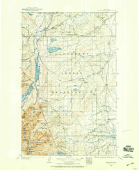
1901 · Browning
USGS Topo · 1:125,000
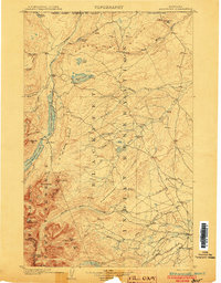
1903 · Browning
USGS Topo · 1:125,000
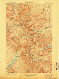
1904 · Chief Mountain
USGS Topo · 1:125,000
1913 · Marias Pass
USGS Topo · 1:125,000
1914 · Nyack
USGS Topo · 1:125,000
1938 · Chief Mountain
USGS Topo · 1:125,000
1960 · Cut Bank
USGS Topo · 1:250,000
1963 · Cut Bank
USGS Topo · 1:250,000
1964 · Cut Bank
USGS Topo · 1:250,000
1964 · Essex
USGS Topo · 1:24,000