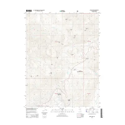
2014 Map of Mount Rose
USGS Topo · Published 2014About this map
Incline Village and Tyrolian Village occupy the southern slopes of the high Carson Range at the edge of Lake Tahoe. This high-altitude landscape is dominated by the peaks and drainages of the Toiyabe National Forest, where the summit of Mt Rose and the sheer Slab Cliffs define the local skyline. The drainage patterns of Third Cr and Incline Cr descend from alpine waters like Incline Lake toward the residential streets of Lakeshore Blvd and Tahoe Blvd. Between these points, the map documents a transition from developed lakeside communities to the high wilderness of Tahoe Meadows and the steep grades leading toward Mount Rose Summit. This survey provides essential detail on the mountain topography and drainage systems, including Galena Cr and the north-flowing Bronco Cr, as they existed in the early twenty-first century.
Find a feature on this map
44 named features on this map. Tap any name to fly to it.
Don’t see what you’re looking for? This feature index may not catch every label — zoom into the map to look around manually.
Map Details
Editions of this 2014 Mount Rose Map
This is the sole edition of this map. No revisions or reprints were ever made.
Other maps of this area
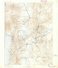
1891 · Carson
USGS Topo · 1:125,000
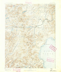
1891 · Truckee
USGS Topo · 1:125,000
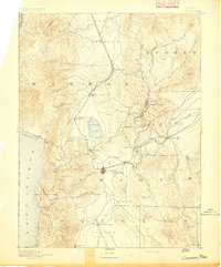
1893 · Carson
USGS Topo · 1:125,000
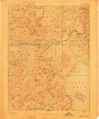
1893 · Truckee
USGS Topo · 1:125,000
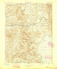
1895 · Truckee
USGS Topo · 1:125,000
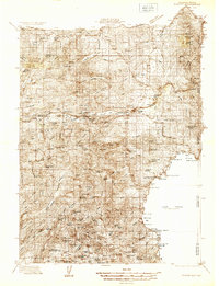
1932 · Truckee
USGS Topo · 1:96,000
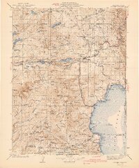
1940 · Truckee
USGS Topo · 1:125,000
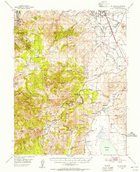
1950 · Mt. Rose
USGS Topo · 1:62,500
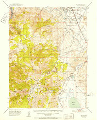
1952 · Mt. Rose
USGS Topo · 1:62,500
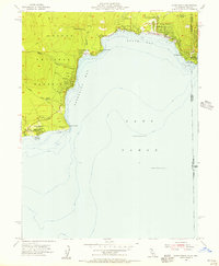
1955 · Kings Beach
USGS Topo · 1:24,000