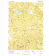
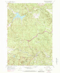
1954 Map of Mount Rushmore
USGS Topo · Published 1976About this map
Mount Rushmore National Memorial stands as the central landmark of this mid-century survey, surrounded by the deep mining history and complex drainage of the Black Hills National Forest. The map details the town of Keystone and the heavy concentration of mineral operations nearby, including the Holy Terror Mine, Peerless Mine, and Hugo Mine. These workings, clustered around the Burlington Northern line and Battle Creek, reflect the industrial legacy of the southern hills before the full shift toward modern tourism.
Find a feature on this map
55 named features on this map. Tap any name to fly to it.
Don’t see what you’re looking for? This feature index may not catch every label — zoom into the map to look around manually.
Map Details
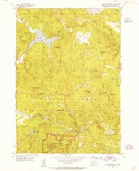
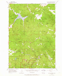
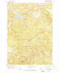
Editions of this 1954 Mount Rushmore Map
5 editions found
Other maps of this area

1893 · Rapid
USGS Topo · 1:125,000

1894 · Deadwood
USGS Topo · 1:125,000

1894 · Hermosa
USGS Topo · 1:125,000

1896 · Harney Peak
USGS Topo · 1:125,000

1898 · Rapid
USGS Topo · 1:125,000

1901 · Hermosa
USGS Topo · 1:125,000

1901 · Harney Peak
USGS Topo · 1:125,000

1901 · Deadwood
USGS Topo · 1:125,000

1903 · Rapid
USGS Topo · 1:125,000

1916 · Deadwood
USGS Topo · 1:125,000