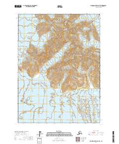
2017 Map of Mount Saint Elias A-7 SE
USGS Topo · Published 2017About this map
Wrangell-Saint Elias National Park dominates this landscape, showing a vast wilderness of ice and high-altitude terrain in southeastern Alaska. The map traces the shifting margins of the Malaspina Glacier, which flows along the western and southern edges of the quadrangle, and the Marvine Glacier to the east. These massive ice fields surround the Hitchcock Hills, a prominent topographic feature rising between the glacial flows. The survey provides precise contour data for the steep elevations and glacial basins, documenting the environmental state of this protected region at a time of modern satellite-assisted mapping. The absence of roads or permanent structures reflects the primitive state of this coastal mountain range, where the movement of ice remains the primary force of geographic change.
Find a feature on this map
8 named features on this map. Tap any name to fly to it.
Don’t see what you’re looking for? This feature index may not catch every label — zoom into the map to look around manually.
Map Details
Editions of this 2017 Mount Saint Elias A-7 SE Map
This is the sole edition of this map. No revisions or reprints were ever made.
Other maps of this area

1951 · Yakutat
USGS Topo · 1:250,000

1951 · Mt Saint Elias
USGS Topo · 1:250,000

1959 · Yakutat
USGS Topo · 1:250,000

1959 · Mt Saint Elias
USGS Topo · 1:250,000
1985 · Mount Saint Elias A-7
USGS Topo · 1:63,360
1985 · Yakutat D-6
USGS Topo · 1:63,360
1985 · Mount Saint Elias A-6
USGS Topo · 1:63,360
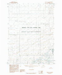
1985 · Yakutat D-7
USGS Topo · 1:63,360
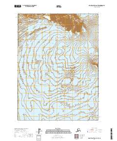
2017 · Mount Saint Elias A-7 SW
USGS Topo · 1:25,000
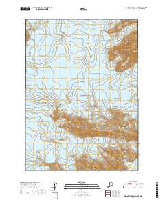
2017 · Mount Saint Elias A-7 NE
USGS Topo · 1:25,000