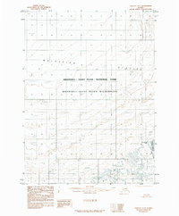
1985 Map of Yakutat D-7
USGS Topo · Published 1985About this map
Malaspina Glacier dominates this landscape, illustrating the immense glacial movement and debris patterns of the Alaskan coast during the mid-1980s. The map captures a complex system of ice and earth, specifically highlighting the extensive Moraine deposits that define the shifting boundary between the glacier and the sea. The southeastern corner reveals the emerging waters of Malaspina Lake, a feature shaped by the retreating ice margin.
Find a feature on this map
7 named features on this map. Tap any name to fly to it.
Don’t see what you’re looking for? This feature index may not catch every label — zoom into the map to look around manually.
Map Details
Editions of this 1985 Yakutat D-7 Map
This is the sole edition of this map. No revisions or reprints were ever made.
Other maps of this area

1951 · Yakutat
USGS Topo · 1:250,000

1951 · Mt Saint Elias
USGS Topo · 1:250,000

1959 · Yakutat
USGS Topo · 1:250,000

1959 · Mt Saint Elias
USGS Topo · 1:250,000
1985 · Mount Saint Elias A-7
USGS Topo · 1:63,360
1985 · Yakutat D-6
USGS Topo · 1:63,360
1985 · Yakutat C-6
USGS Topo · 1:63,360
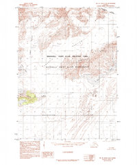
1985 · Mount Saint Elias A-8
USGS Topo · 1:63,360
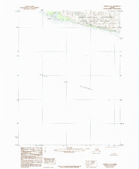
1985 · Yakutat C-8
USGS Topo · 1:63,360
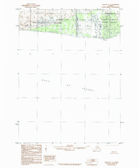
1985 · Yakutat C-7
USGS Topo · 1:63,360