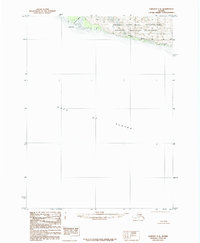
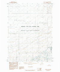
1985 Map of Yakutat C-8
USGS Topo · Published 1985About this map
Wrangell-Saint Elias National Park and the adjacent Wrangell-Saint Elias Wilderness dominate this coastal survey of the northern Gulf of Alaska. The landscape is defined by the interaction of glacial recession and the sea, evidenced by the prominent Moraine formations and the dynamic drainage of Fountain Stream. Along the shoreline, Cape Sitkagi and the Sitkagi Bluffs represent the primary topographical landmarks in an area otherwise characterized by vast alluvial and glacial deposits. This 1985 provisional edition is based on photography from the late 1950s, recording a moment when the federal boundary for the park and wilderness was formally established. The note that the Boundary Follows Shoreline highlights the importance of the shifting coast in defining these protected lands.
Find a feature on this map
8 named features on this map. Tap any name to fly to it.
Don’t see what you’re looking for? This feature index may not catch every label — zoom into the map to look around manually.
Map Details
Editions of this 1985 Yakutat C-8 Map
This is the sole edition of this map. No revisions or reprints were ever made.
Other maps of this area

1950 · Icy Bay
USGS Topo · 1:250,000

1951 · Icy Bay
USGS Topo · 1:250,000

1951 · Yakutat
USGS Topo · 1:250,000

1959 · Yakutat
USGS Topo · 1:250,000

1961 · Icy Bay
USGS Topo · 1:250,000
1985 · Icy Bay D-1
USGS Topo · 1:63,360
1985 · Yakutat C-7
USGS Topo · 1:63,360
1985 · Yakutat D-8
USGS Topo · 1:63,360
1985 · Yakutat D-7
USGS Topo · 1:63,360
2017 · Icy Bay D-1 SE
USGS Topo · 1:25,000