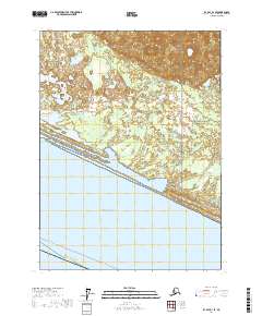
2017 Map of Icy Bay D-1 SE
USGS Topo · Published 2017About this map
The Gulf of Alaska coastline dominates the southern portion of this 2017 survey, where the terrestrial landscape of the Yakutat Borough Alaska meets the open sea. Much of the inland area is protected within the Wrangell-Saint Elias National Park, a region characterized by a complex network of wetlands and tidal flats. The Yana Stream meanders through these lowlands, feeding into the coastal waters via a series of shifting inlets and lagoons. This landscape illustrates a dynamic environment of glacial runoff and maritime influence, where the lack of permanent roads or settlements emphasizes the wilderness character of the park. The map also delineates the Whittier - Yakutat marine route, tracing the maritime connections vital to this corner of the state.
Find a feature on this map
11 named features on this map. Tap any name to fly to it.
Don’t see what you’re looking for? This feature index may not catch every label — zoom into the map to look around manually.
Map Details
Editions of this 2017 Icy Bay D-1 SE Map
This is the sole edition of this map. No revisions or reprints were ever made.
Other maps of this area

1950 · Icy Bay
USGS Topo · 1:250,000

1951 · Icy Bay
USGS Topo · 1:250,000

1951 · Yakutat
USGS Topo · 1:250,000

1959 · Yakutat
USGS Topo · 1:250,000

1961 · Icy Bay
USGS Topo · 1:250,000
1985 · Icy Bay D-1
USGS Topo · 1:63,360
1985 · Yakutat C-8
USGS Topo · 1:63,360
1985 · Yakutat D-8
USGS Topo · 1:63,360
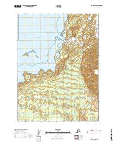
2017 · Icy Bay D-1 NW
USGS Topo · 1:25,000
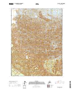
2017 · Icy Bay D-1 NE
USGS Topo · 1:25,000