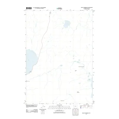
2012 Map of Mount Sheridan
USGS Topo · Published 2012About this map
Mount Sheridan stands as the dominant topographic feature in this corner of Teton County, presiding over a landscape defined by complex geothermal activity and high-altitude water systems. The map captures a detailed inventory of the Heart Lake Geyser Basin, identifying specific thermal features such as Rustic Geyser, Deluge Geyser, and the Rustic Group. This geothermal network is tied to the drainage of Witch Cr and Solution Cr, flowing into the significant waters of Heart Lake.
Find a feature on this map
26 named features on this map. Tap any name to fly to it.
Don’t see what you’re looking for? This feature index may not catch every label — zoom into the map to look around manually.
Map Details
Editions of this 2012 Mount Sheridan Map
This is the sole edition of this map. No revisions or reprints were ever made.
Other maps of this area
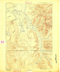
1885 · Lake
USGS Topo · 1:125,000
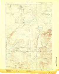
1886 · Shoshone
USGS Topo · 1:125,000
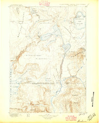
1888 · Shoshone
USGS Topo · 1:125,000
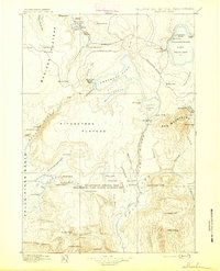
1895 · Shoshone
USGS Topo · 1:125,000
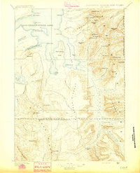
1895 · Lake
USGS Topo · 1:125,000
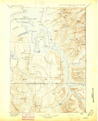
1896 · Lake
USGS Topo · 1:125,000
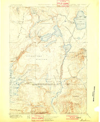
1901 · Shoshone
USGS Topo · 1:125,000
1901 · Lake
USGS Topo · 1:125,000
1906 · Lake
USGS Topo · 1:125,000
1908 · Shoshone
USGS Topo · 1:125,000