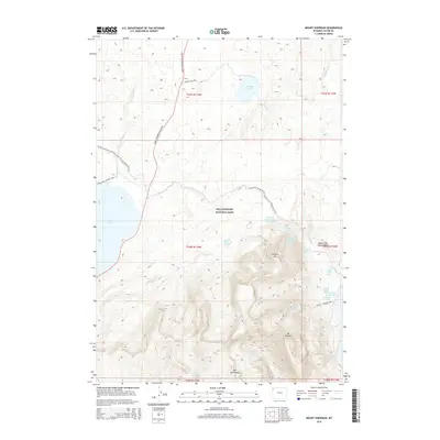
2015 Map of Mount Sheridan
USGS Topo · Published 2015About this map
Yellowstone National Park reveals its geothermal and alpine character in this survey of the high Teton County backcountry. The landscape is dominated by the massive ascent to Mt Sheridan and the neighboring Red Mountains, providing a topographical overview of the hydrologic divide where Basin Creek and Solution Creek originate. Of particular interest to researchers are the hydrothermal features concentrated around Heart Lake, including the Heart Lake Geyser Basin and its individual vents like Deluge Geyser, Rustic Geyser, and the Heart Lake Geyser. The map also traces established routes through the wilderness, such as the John D Rockefeller Jr Pkwy and the Continental Divide National Scenic Trail, alongside smaller paths like the Riddle Lake Trail and the Mount Sheridan Trail.
Find a feature on this map
35 named features on this map. Tap any name to fly to it.
Don’t see what you’re looking for? This feature index may not catch every label — zoom into the map to look around manually.
Map Details
Editions of this 2015 Mount Sheridan Map
This is the sole edition of this map. No revisions or reprints were ever made.
Other maps of this area
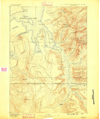
1885 · Lake
USGS Topo · 1:125,000
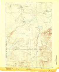
1886 · Shoshone
USGS Topo · 1:125,000
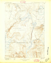
1888 · Shoshone
USGS Topo · 1:125,000
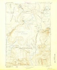
1895 · Shoshone
USGS Topo · 1:125,000
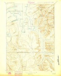
1895 · Lake
USGS Topo · 1:125,000
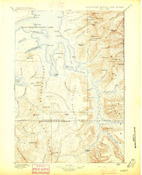
1896 · Lake
USGS Topo · 1:125,000
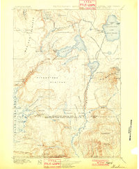
1901 · Shoshone
USGS Topo · 1:125,000
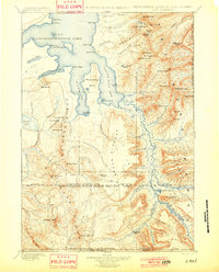
1901 · Lake
USGS Topo · 1:125,000
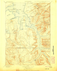
1906 · Lake
USGS Topo · 1:125,000
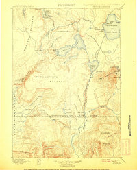
1908 · Shoshone
USGS Topo · 1:125,000