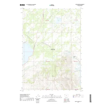
2017 Map of Mount Sheridan
USGS Topo · Published 2017About this map
Mt Sheridan and the surrounding volcanic terrain of southern Yellowstone National Park dominate this survey. The landscape is a complex network of thermal features and high-altitude lakes, most notably the hydrothermal activity concentrated in the Heart Lake Geyser Basin. Here, active features like Deluge Geyser, Rustic Geyser, and Prometheus Spring are documented near the shores of Heart Lake. The topography is defined by the Red Mountains and peaks like Factory Hill, which rise above the drainages of Witch Cr and Basin Cr.
Find a feature on this map
35 named features on this map. Tap any name to fly to it.
Don’t see what you’re looking for? This feature index may not catch every label — zoom into the map to look around manually.
Map Details
Editions of this 2017 Mount Sheridan Map
This is the sole edition of this map. No revisions or reprints were ever made.
Other maps of this area
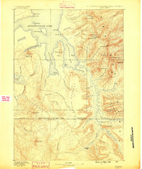
1885 · Lake
USGS Topo · 1:125,000
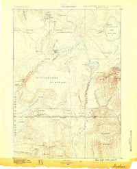
1886 · Shoshone
USGS Topo · 1:125,000
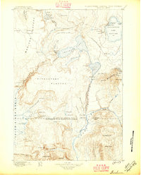
1888 · Shoshone
USGS Topo · 1:125,000
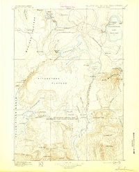
1895 · Shoshone
USGS Topo · 1:125,000
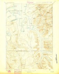
1895 · Lake
USGS Topo · 1:125,000
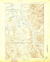
1896 · Lake
USGS Topo · 1:125,000
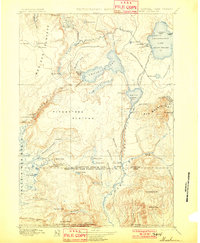
1901 · Shoshone
USGS Topo · 1:125,000
1901 · Lake
USGS Topo · 1:125,000
1906 · Lake
USGS Topo · 1:125,000
1908 · Shoshone
USGS Topo · 1:125,000