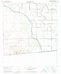
1957 Map of Mount Signal
USGS Topo · Published 1991About this map
The Yuha Desert and its intricate network of irrigation infrastructure define this arid landscape along the international border. In the mid-1950s, the engineering of the Imperial Valley is on full display through the extensive canal system, including the Westside Main Canal, Wistaria Canal, and Woodbine Canal. These man-made arteries distribute water across the region's lowlands, contrasted by the dry courses of Pinto Wash and Yuha Wash. At the center of the survey lies the Yuha Naval Reservation, a significant military footprint in the open West Mesa. Local civic life is anchored by the Mt Signal School, while the small settlement at Mount Signal sits near the crossing into Mexico. The map also records the industrial extraction of the era, noting a Rock Quarry and multiple Gravel Pit locations near the New River.
Find a feature on this map
53 named features on this map. Tap any name to fly to it.
Don’t see what you’re looking for? This feature index may not catch every label — zoom into the map to look around manually.
Map Details
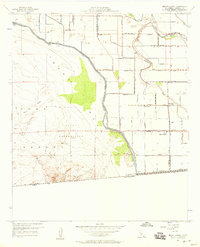
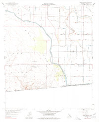
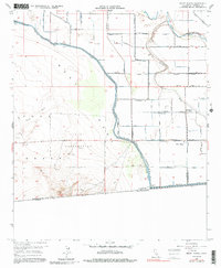
Editions of this 1957 Mount Signal Map
4 editions found
Other maps of this area

1915 · El Centro
USGS Topo · 1:125,000

1940 · Brawley
USGS Topo · 1:62,500

1940 · Heber
USGS Topo · 1:62,500

1940 · Plaster City
USGS Topo · 1:62,500

1940 · Coyote Wells
USGS Topo · 1:62,500

1942 · El Centro
USGS Topo · 1:250,000

1943 · Coyote Wells
USGS Topo · 1:62,500

1943 · Heber
USGS Topo · 1:62,500

1943 · Brawley
USGS Topo · 1:62,500

1944 · Plaster City
USGS Topo · 1:62,500