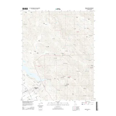
2015 Map of Mount Sizer
USGS Topo · Published 2015About this map
Morgan Hill anchor the southwestern corner of this survey, where the residential development of the Santa Clara Valley meets the rising elevations of the Diablo Range. The landscape is defined by the canyon system of Coyote Creek, which feeds into the prominent Anderson Lake. Higher in the ridges, the terrain transitions to a series of flats and springs that suggest a history of high-country ranching and seasonal resort use. Notable among these is Madrone Soda Springs tucked into Sycamore Canyon, a location historically known for its mineral waters. The complex topography is marked by named features such as Mount Sizer and the steep Hogsback, with accessibility provided by Manzanita Point Road and the early infrastructure of the Cochrane Bridge.
Find a feature on this map
92 named features on this map. Tap any name to fly to it.
Don’t see what you’re looking for? This feature index may not catch every label — zoom into the map to look around manually.
Map Details
Editions of this 2015 Mount Sizer Map
This is the sole edition of this map. No revisions or reprints were ever made.
Other maps of this area
1897 · Mt. Hamilton
USGS Topo · 1:62,500
1917 · Morgan Hill
USGS Topo · 1:62,500
1921 · Gilroy Hot Springs
USGS Topo · 1:62,500
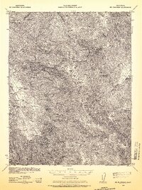
1938 · Mt. Boardman
USGS Topo · 1:62,500
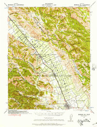
1939 · Morgan Hill
USGS Topo · 1:62,500
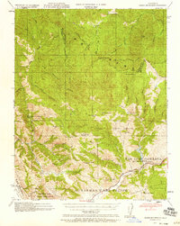
1939 · Gilroy Hot Springs
USGS Topo · 1:62,500
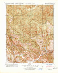
1940 · Gilroy Hot Springs
USGS Topo · 1:62,500
1941 · Morgan Hill
USGS Topo · 1:62,500
1942 · Mt. Hamilton
USGS Topo · 1:62,500
1942 · Mt. Boardman
USGS Topo · 1:62,500