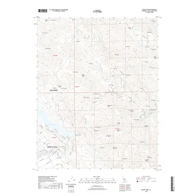
2018 Map of Mount Sizer
USGS Topo · Published 2018About this map
Mt Sizer and the Diablo Range define the high terrain of this portion of Santa Clara County, where the eastern edges of San Jose and Morgan Hill meet a network of ridges and canyons. The landscape is characterized by its hydrological features, from the large expanse of Anderson Lake to smaller isolated waters like Tule Lake, Lone Lake, and Mud Lake. Several springs are scattered throughout the hills, including Lion Spring, Blackberry Spring, and the historically significant Madrone Soda Springs located near Cordora Ridge.
Find a feature on this map
115 named features on this map. Tap any name to fly to it.
Don’t see what you’re looking for? This feature index may not catch every label — zoom into the map to look around manually.
Map Details
Editions of this 2018 Mount Sizer Map
This is the sole edition of this map. No revisions or reprints were ever made.
Other maps of this area
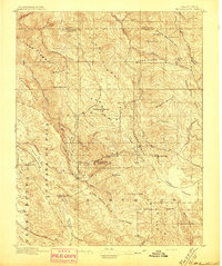
1897 · Mt. Hamilton
USGS Topo · 1:62,500
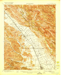
1917 · Morgan Hill
USGS Topo · 1:62,500
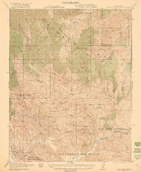
1921 · Gilroy Hot Springs
USGS Topo · 1:62,500
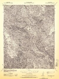
1938 · Mt. Boardman
USGS Topo · 1:62,500
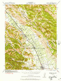
1939 · Morgan Hill
USGS Topo · 1:62,500
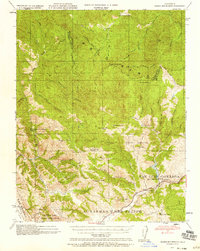
1939 · Gilroy Hot Springs
USGS Topo · 1:62,500
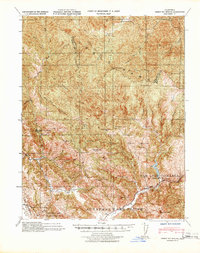
1940 · Gilroy Hot Springs
USGS Topo · 1:62,500
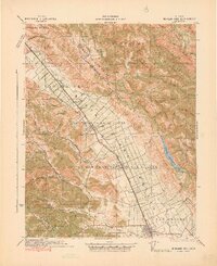
1941 · Morgan Hill
USGS Topo · 1:62,500
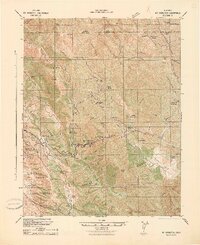
1942 · Mt. Hamilton
USGS Topo · 1:62,500
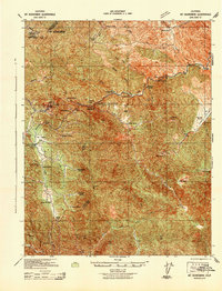
1942 · Mt. Boardman
USGS Topo · 1:62,500